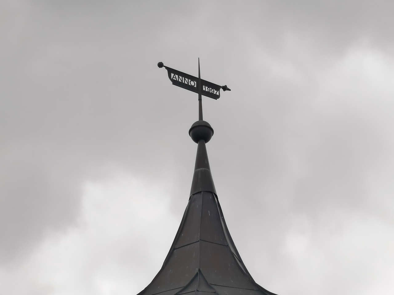
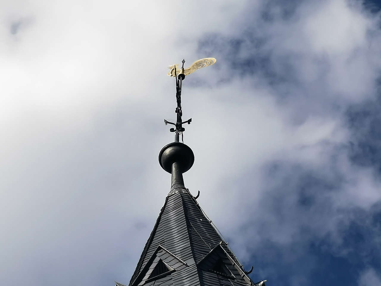
Kath. Kirche St.-Marien / Klosterkirche Marienstuhl, Egeln
51°56'27.2"N 11°25'43.2"E
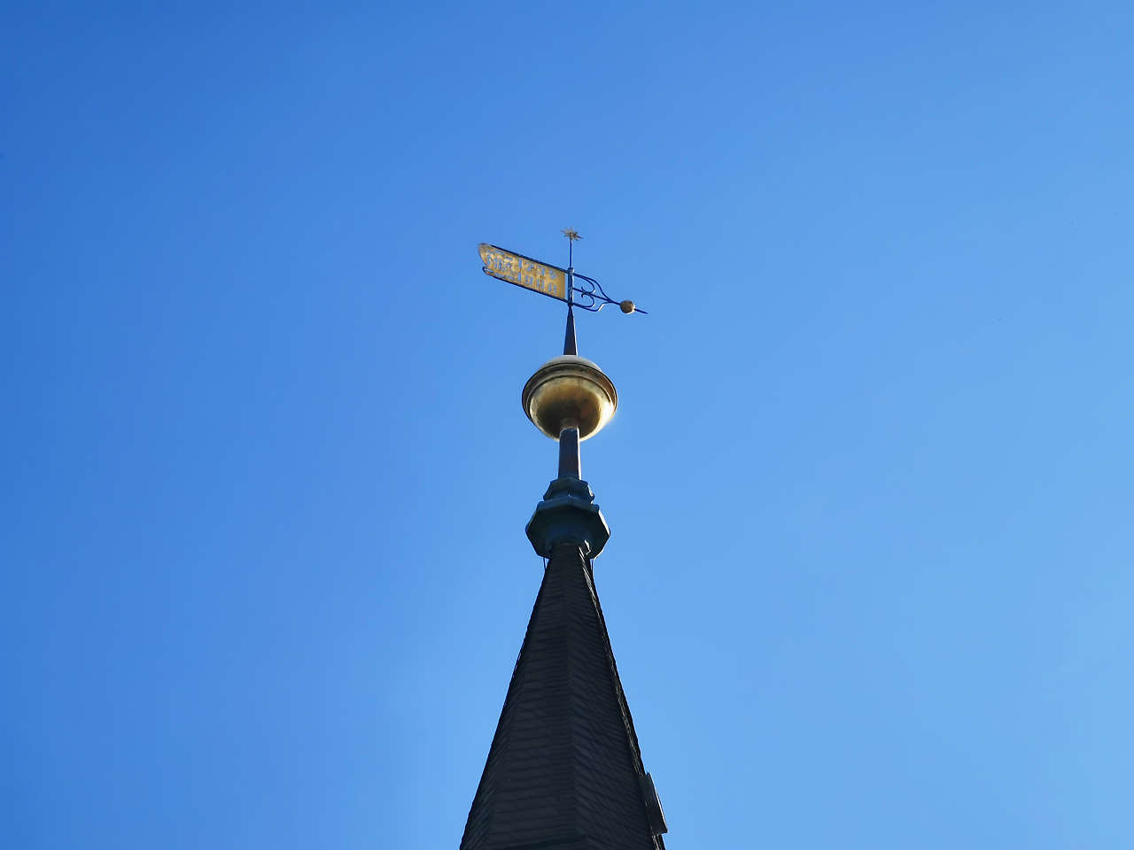
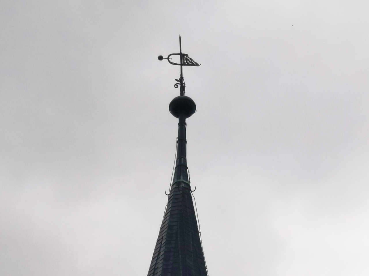
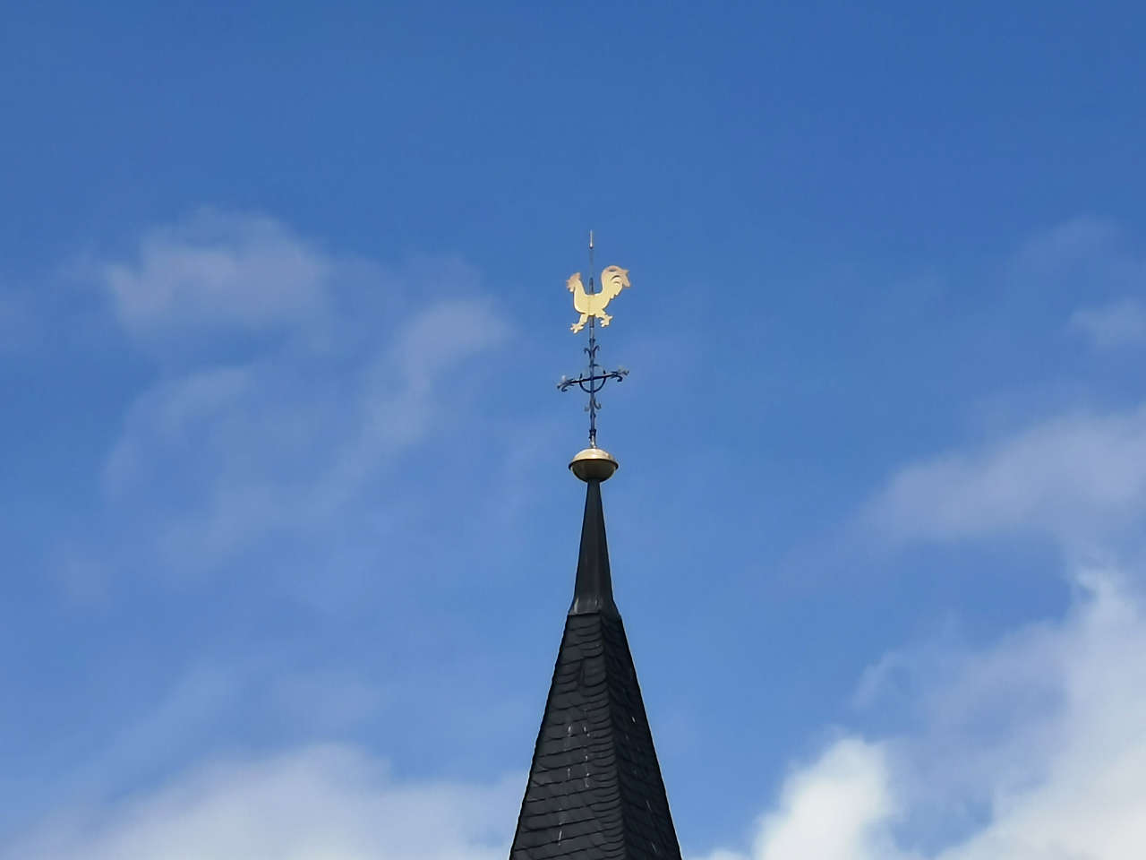
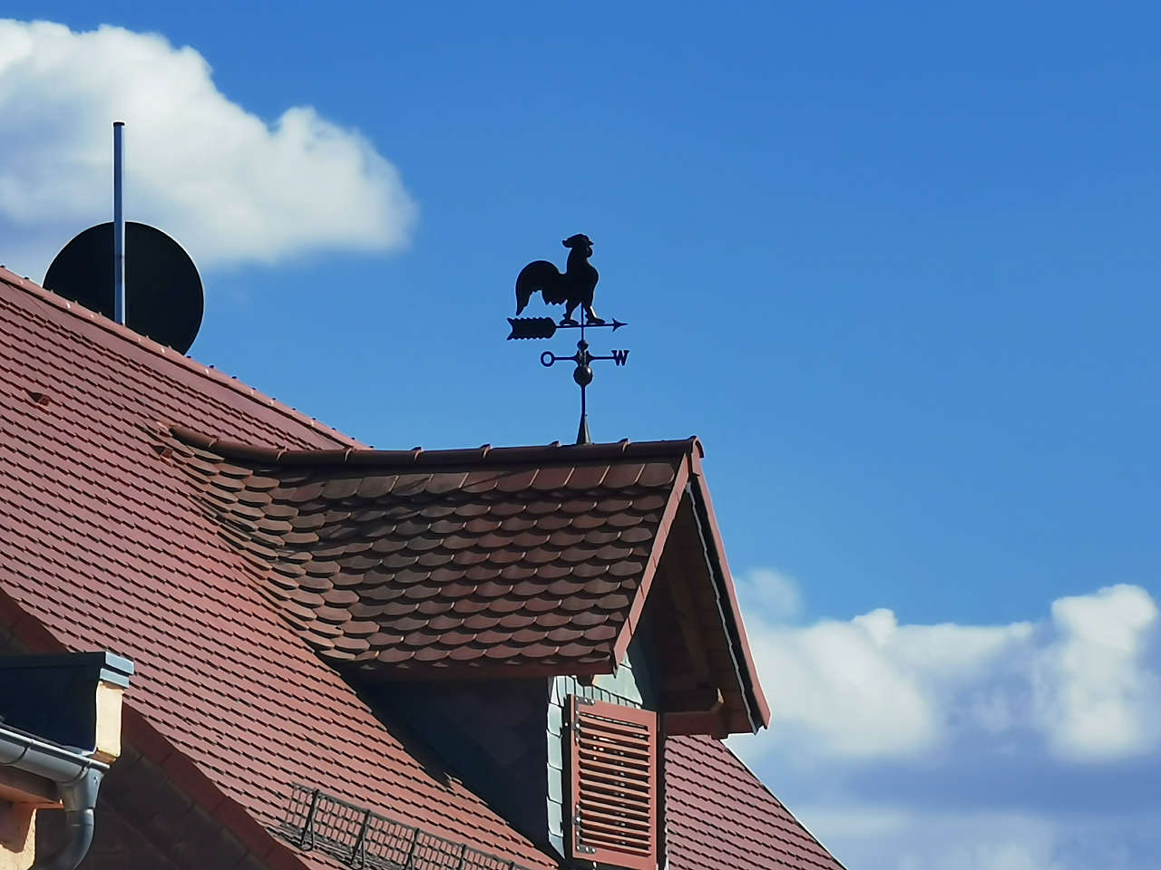
Ev. Dorfkirche St. Bonifatius, Quenstedt
51°41'49.6"N 11°27'25.1"E
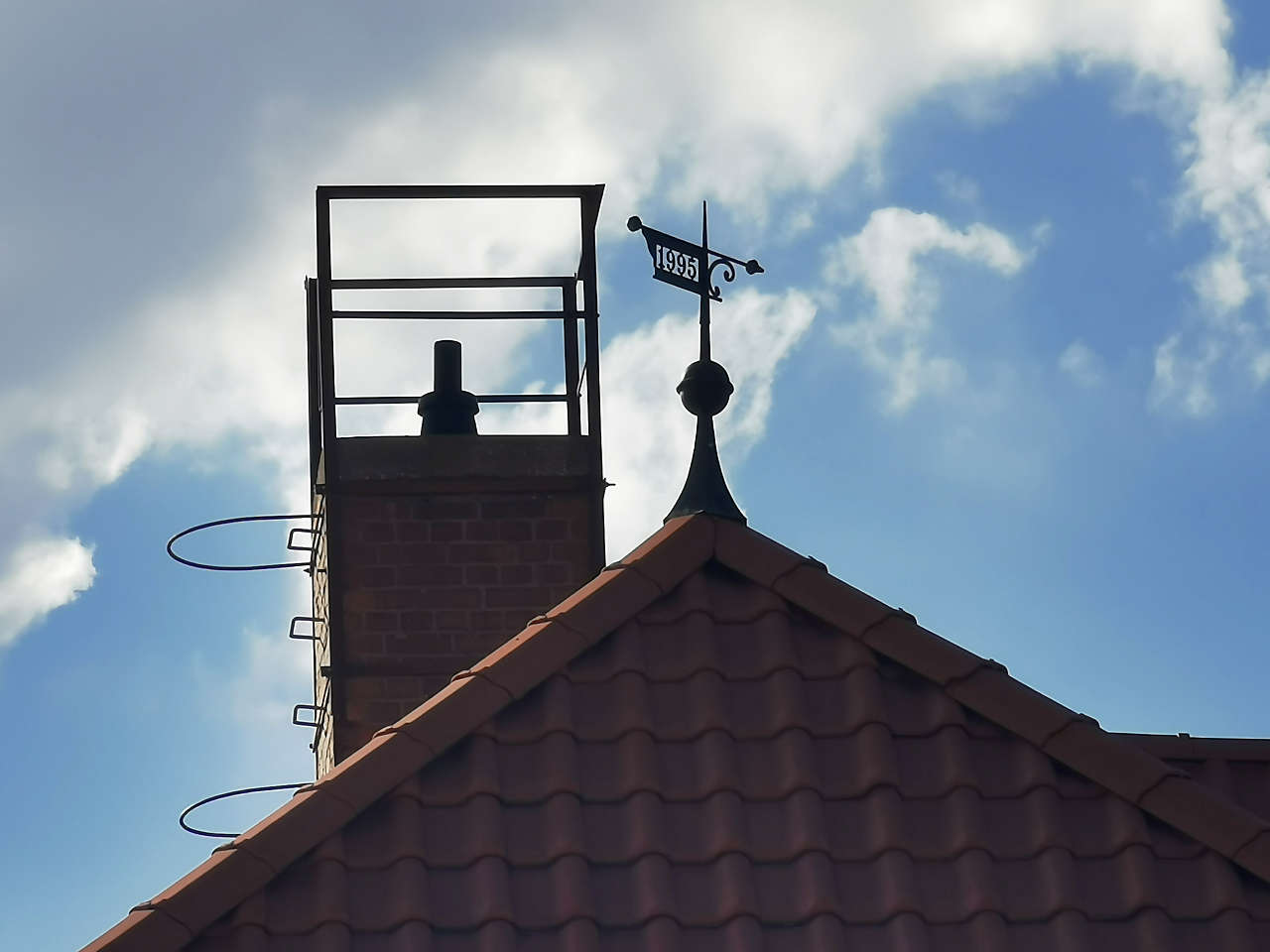
Arnstedter Str., Quenstedt
51°41'40.8"N 11°27'33.1"E
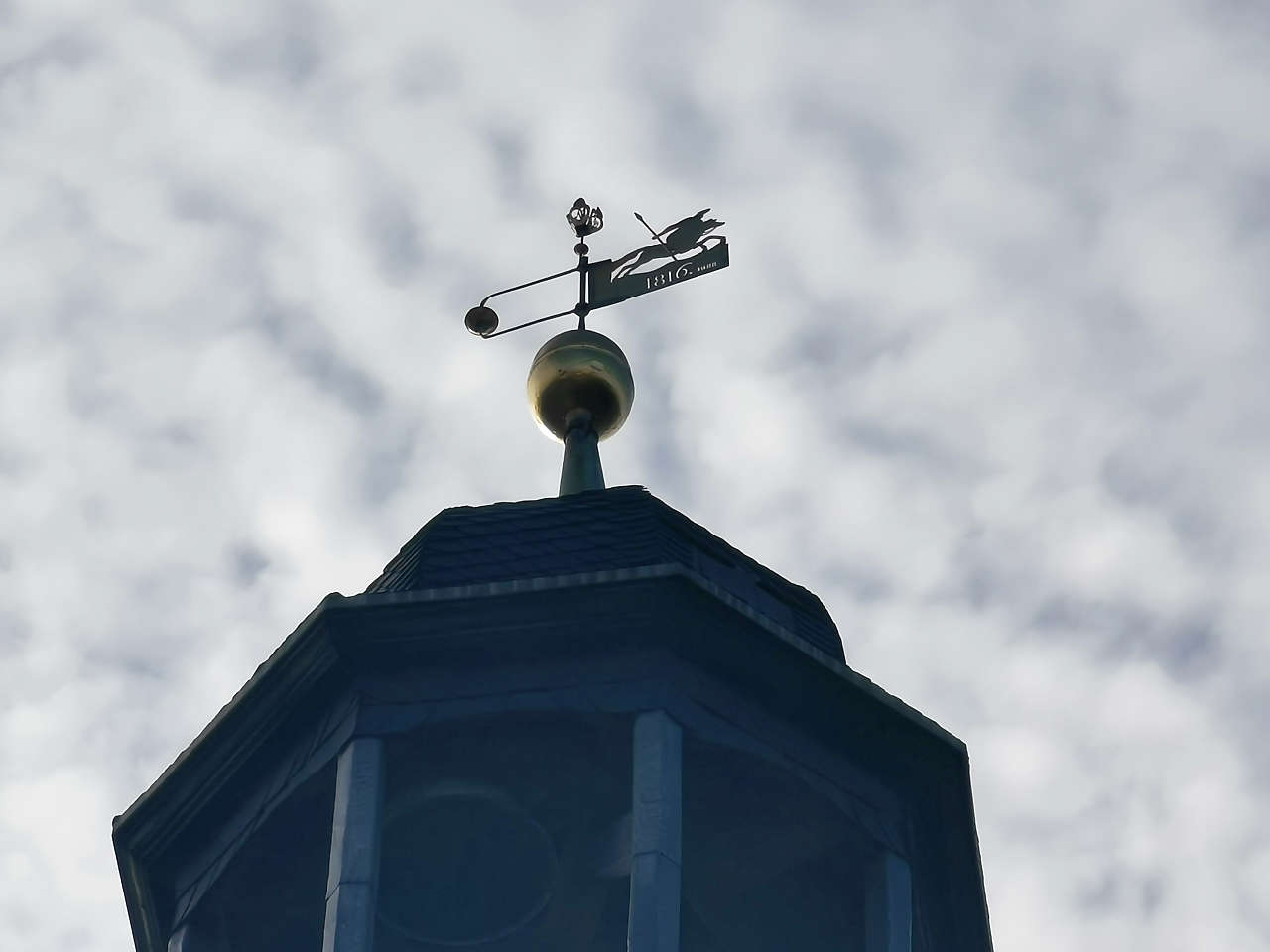
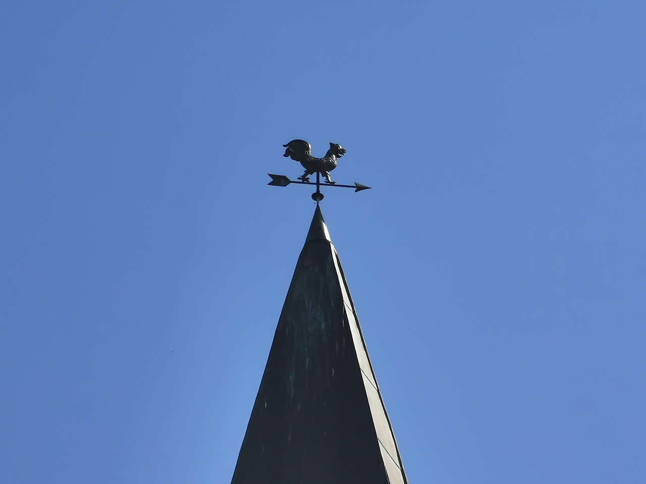
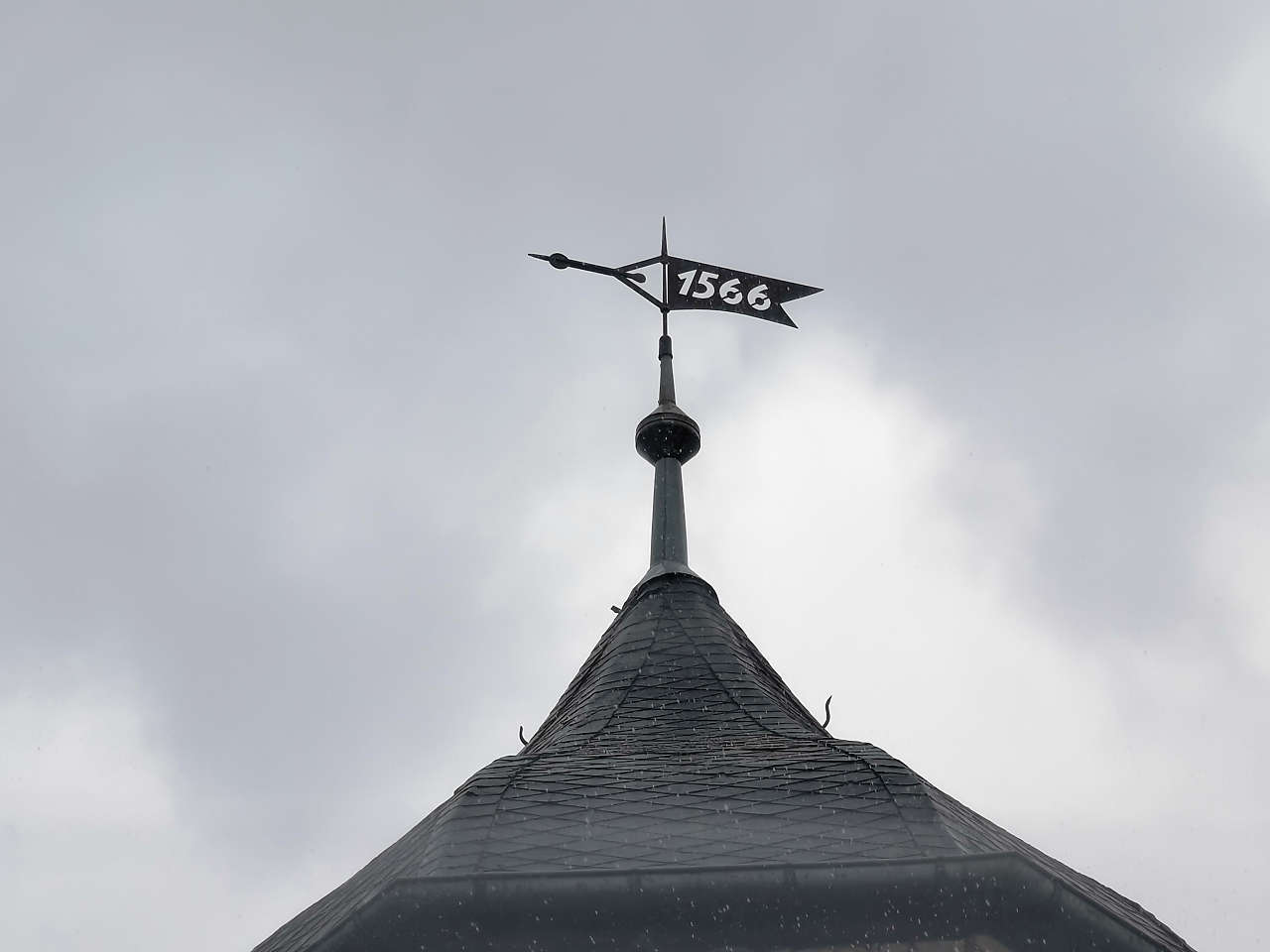
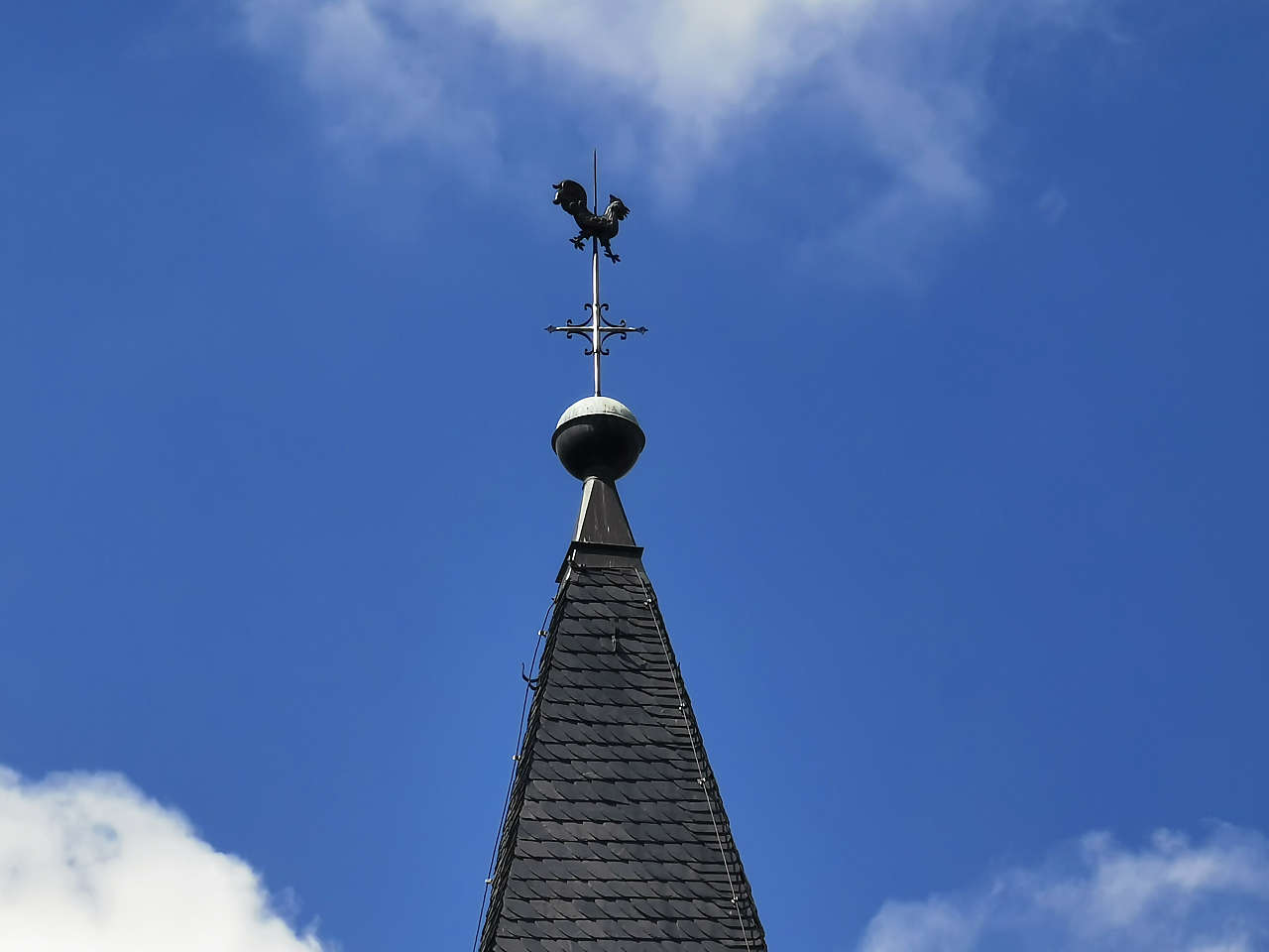
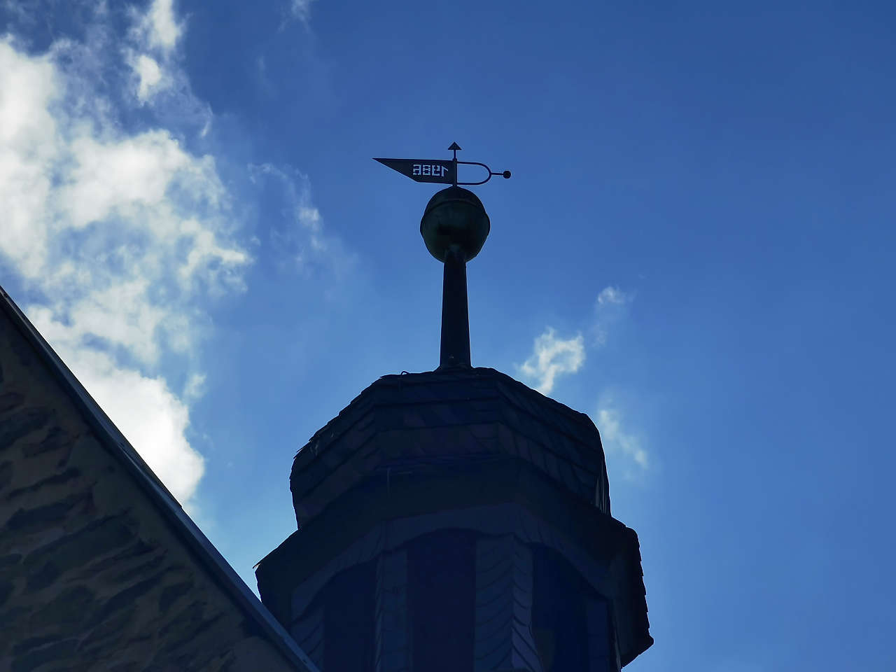
Ev. Dorfkirche St. Mauritius, Arnstedt
51°41'25.3"N 11°29'50.1"E
Barfußgäßchen, Leipzig
51°20'27.2"N 12°22'19.5"E
Barfußgäßchen, Leipzig
51°20'27.0"N 12°22'23.3"E
Glockenturm, ehem. Kloster, Gerbstedt
51°37'50.4"N 11°37'44.2"E
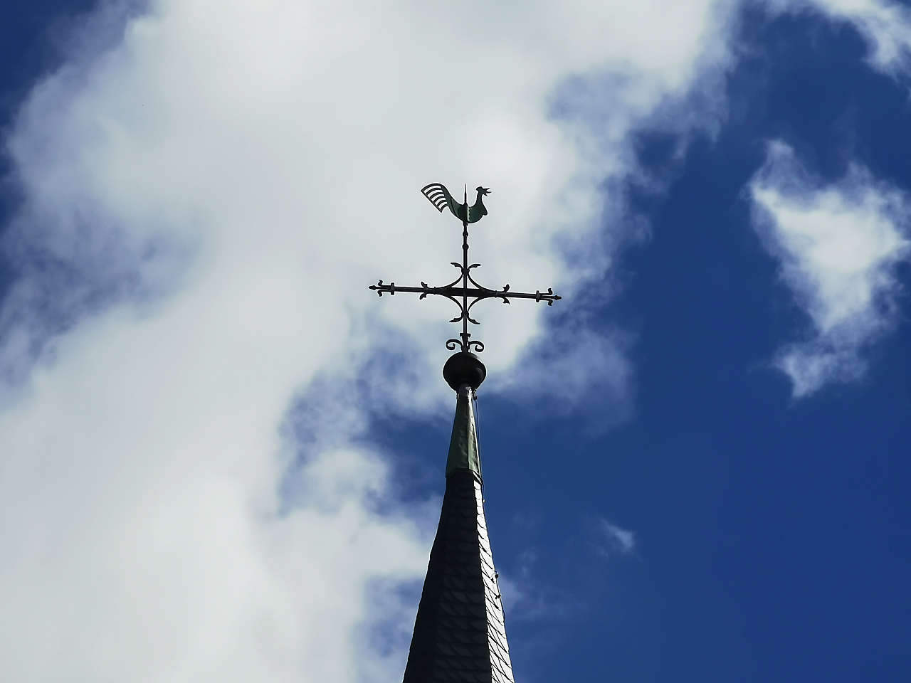
Ev. Kirche St. Johannis, Gerbstedt
51°37'53.3"N 11°37'40.6"E
Rathaus, Gerbstedt
51°37'55.1"N 11°37'39.3"E
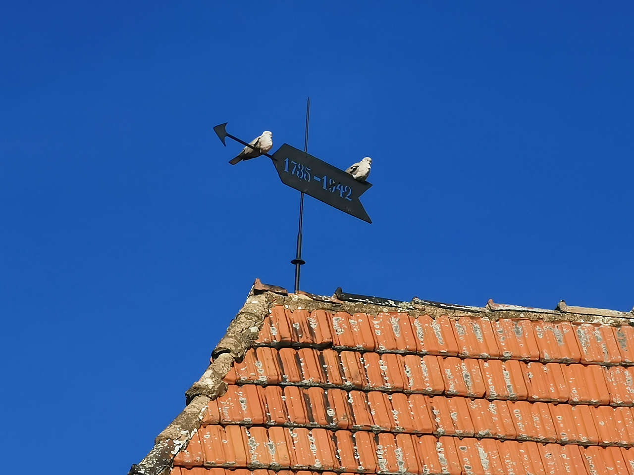
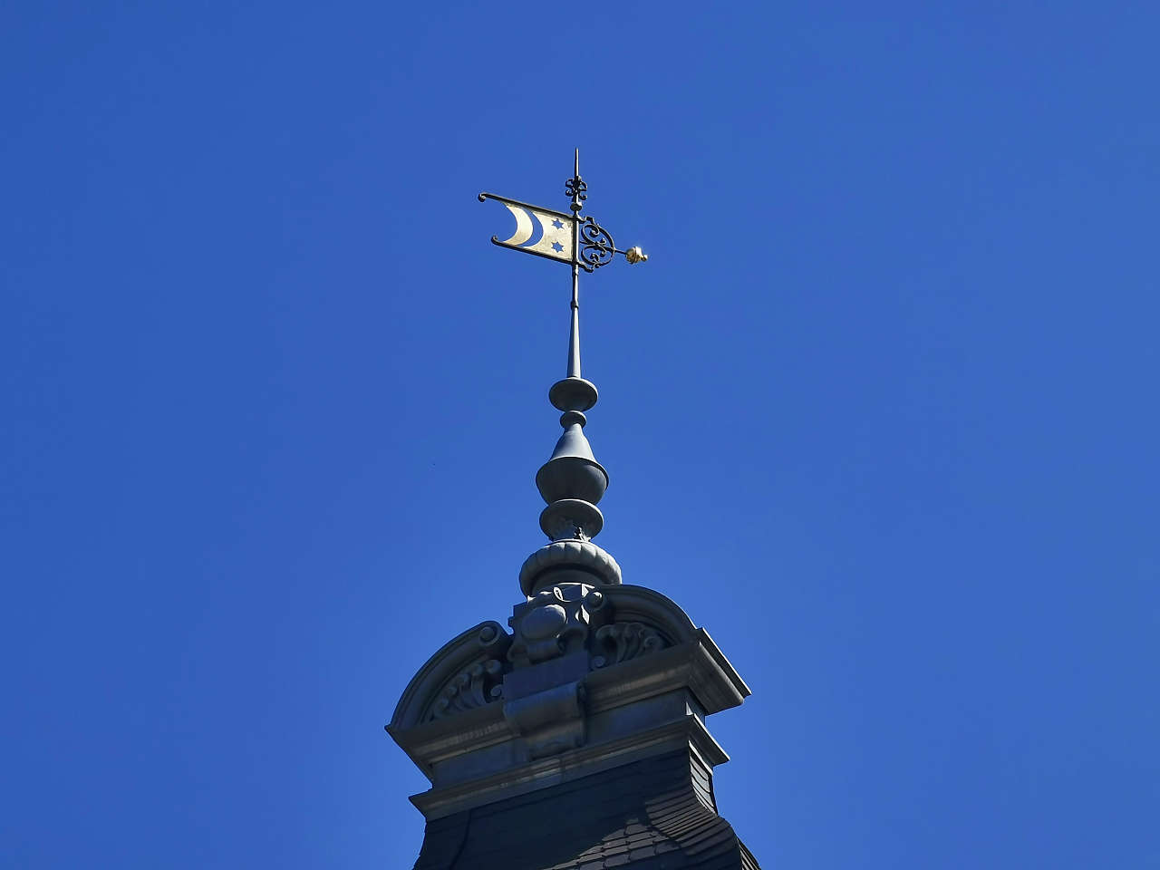
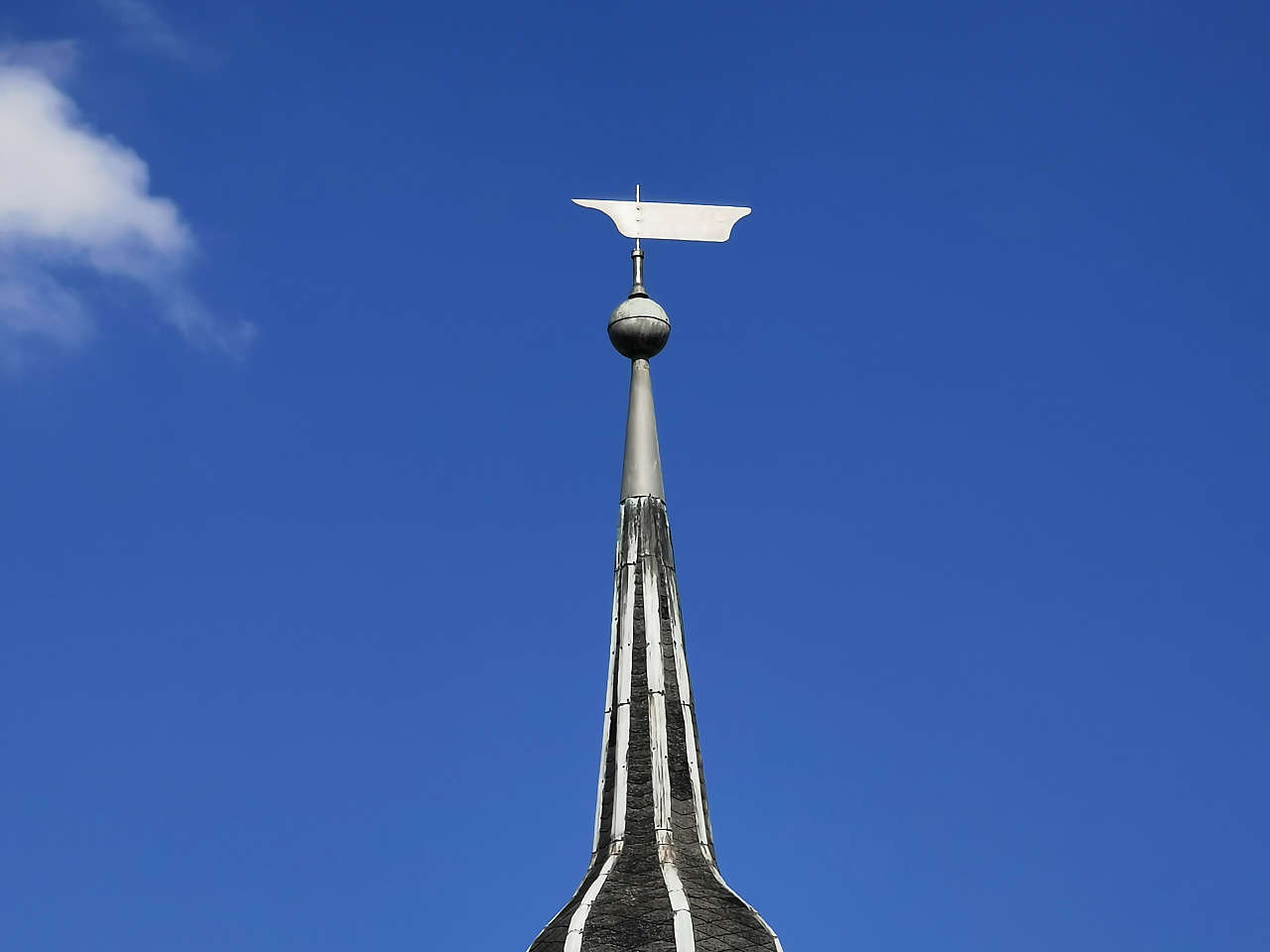
Ev. Kirche, Belleben
51°40'24.8"N 11°38'06.5"E
Schloss Plötzkau
51°44'38.9"N 11°41'20.0"E
Freie Grundschule, Plötzkau
51°44'47.5"N 11°41'03.6"E
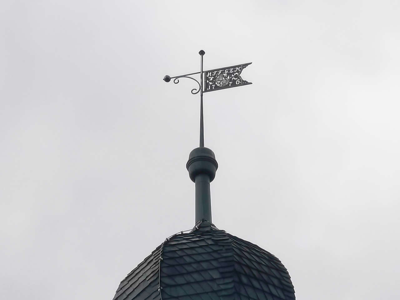
Rathaus, Güsten
51°47'48.5"N 11°36'47.8"E
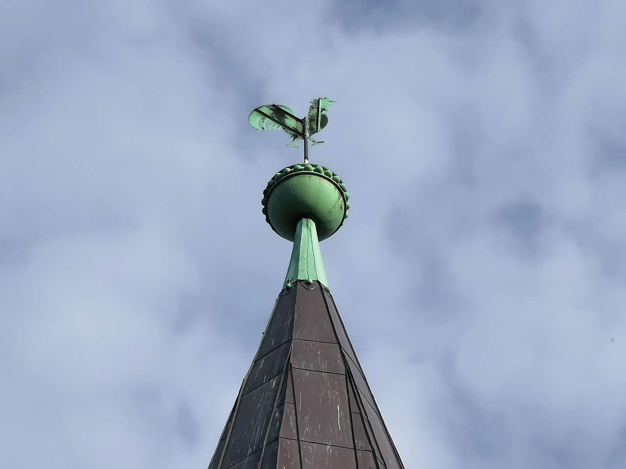
Ev. Kirche St. Vitus, Güsten
51°47'46.9"N 11°36'39.3"E
Ev. Dorfkirche, Amesdorf
51°46'50.7"N 11°35'57.7"E
Ev. Dorfkirche St. Johannis, Osmarsleben
51°47'35.8"N 11°37'28.0"E
Kath. Kirche Unbefleckte Empfängnis / St. Marien, Güsten
51°47'50.3"N 11°36'54.9"E
Ev. Dorfkirche St. Pauli, Rathmannsdorf
51°49'18.5"N 11°37'33.7"E
Ev. Dorfkirche St. Petri und Pauli, Neundorf (Anhalt)
51°49'11.9"N 11°34'13.8"E
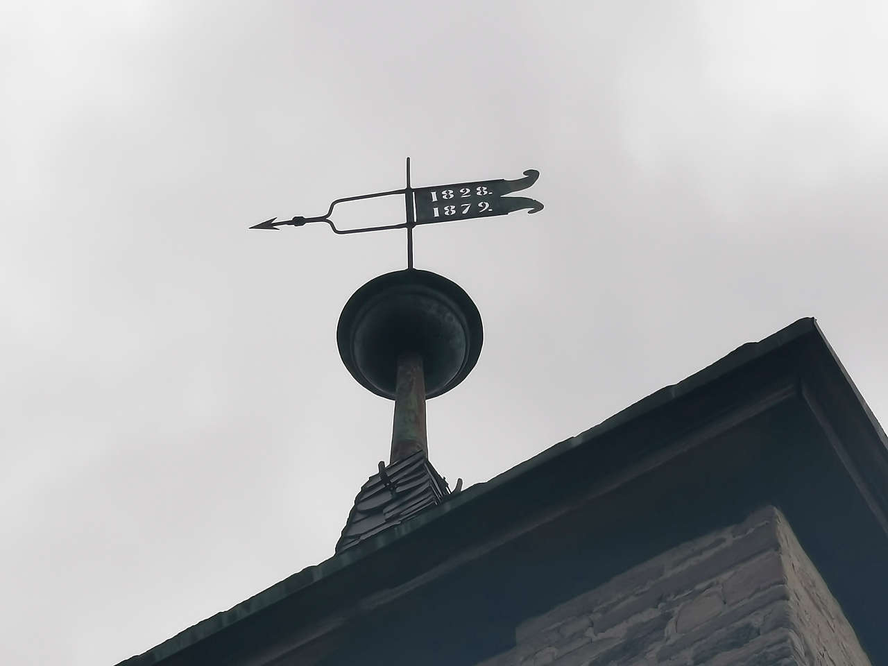
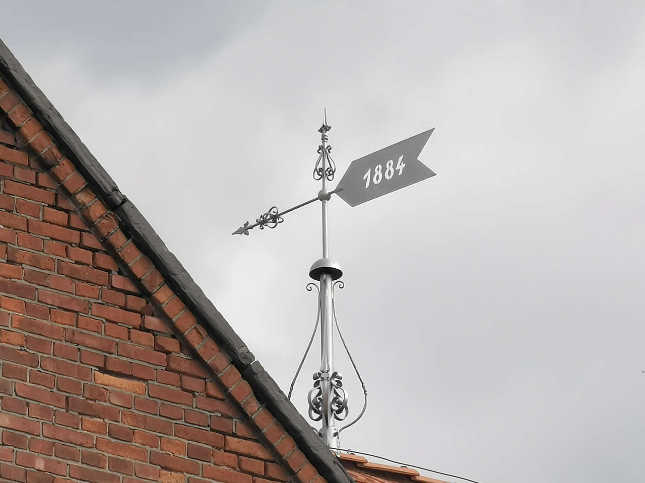
Rathaus, Hecklingen
51°50'50.7"N 11°32'01.4"E
Ev. Kirche St. Gertrud, Neugattersleben
51°50'56.5"N 11°42'27.5"E
Burgstr., Nienburg (Saale)
51°50'08.7"N 11°46'11.9"E
Bitterfelder Str., Löbejün
51°38'23.4"N 11°54'27.3"E
Hospitalkapelle St. Cyriakus, Löbejün
51°38'20.7"N 11°54'16.8"E