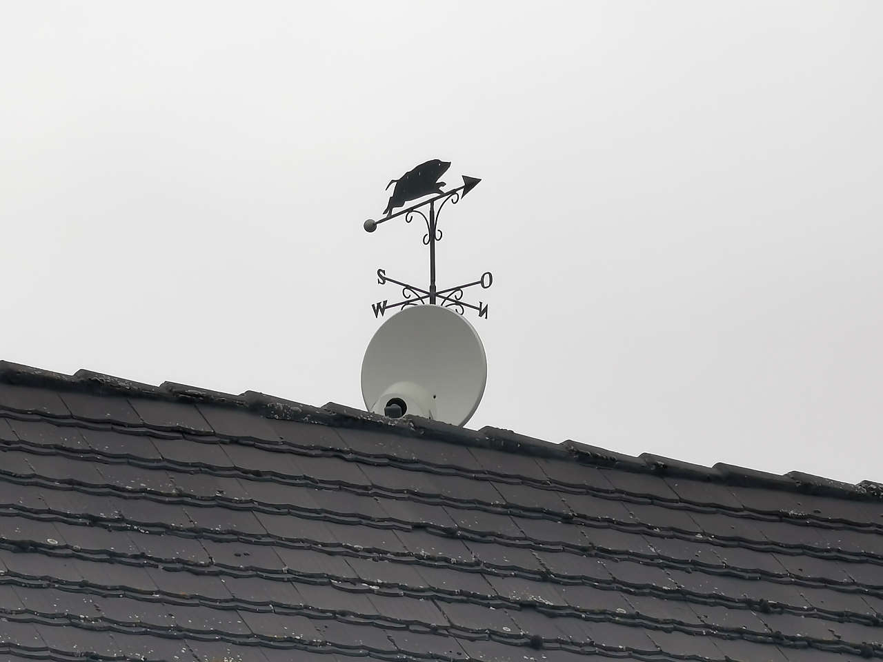
Lindenstr., Beetzendorf
52°41'54.6"N 11°05'12.6"E
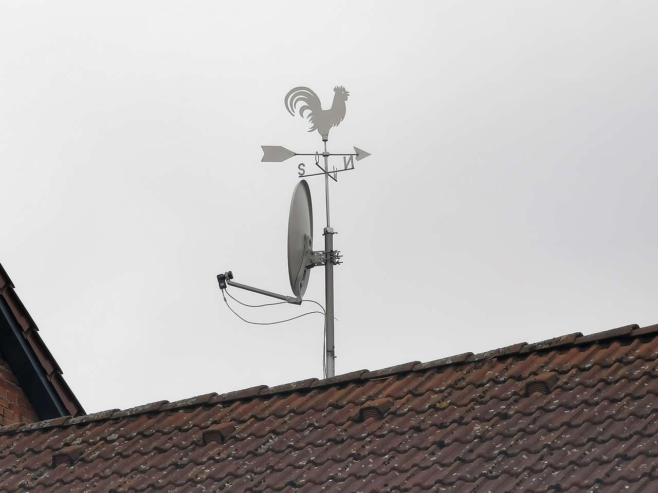
Freistr., Beetzendorf
52°42'22.6"N 11°05'32.6"E
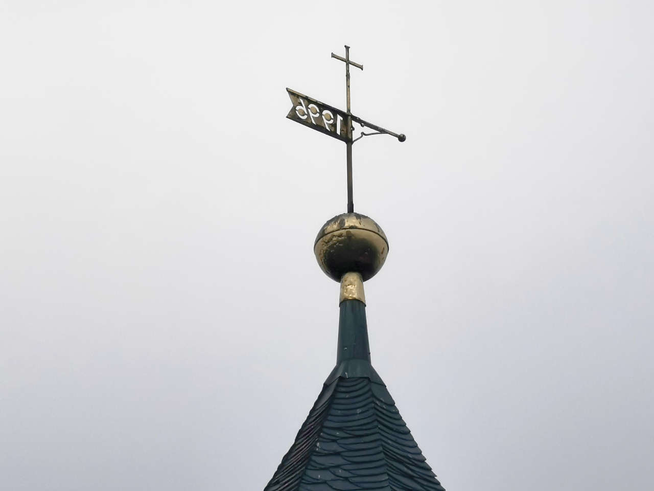
Ev. Dorfkirche, Siedengrieben
52°42'27.0"N 11°07'18.5"E
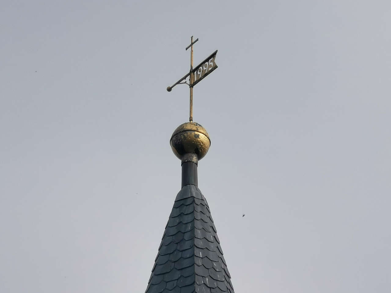
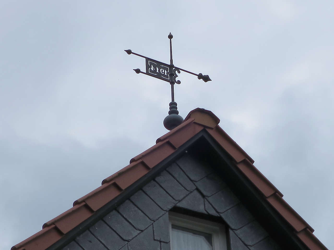
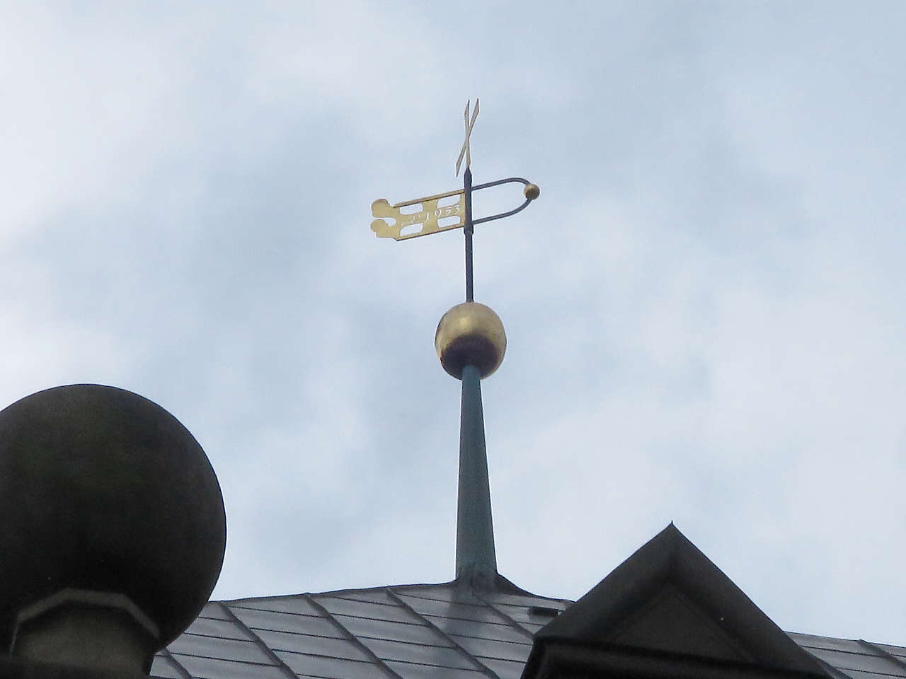
Ev. Dorfkirche, Hohentramm
52°42'30.4"N 11°08'43.4"E
Burgruine Apenburg
52°42'25.7"N 11°12'18.0"E
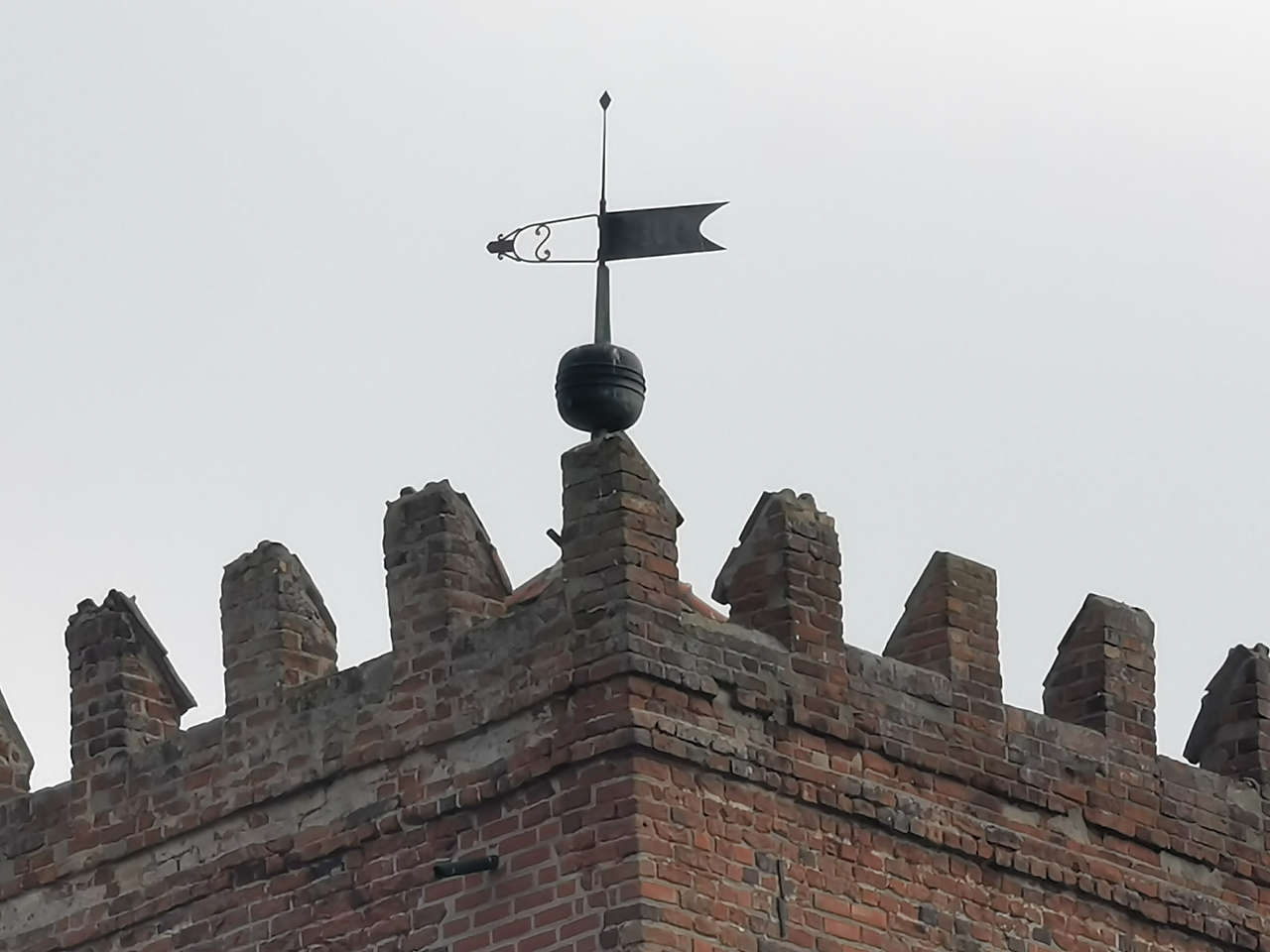
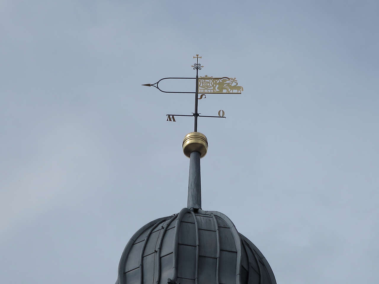
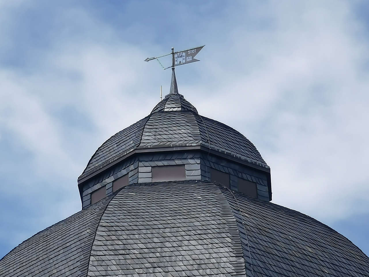
Ev. Dorfkirche St. Johannis Baptistae, Apenburg
52°42'32.9"N 11°12'09.9"E
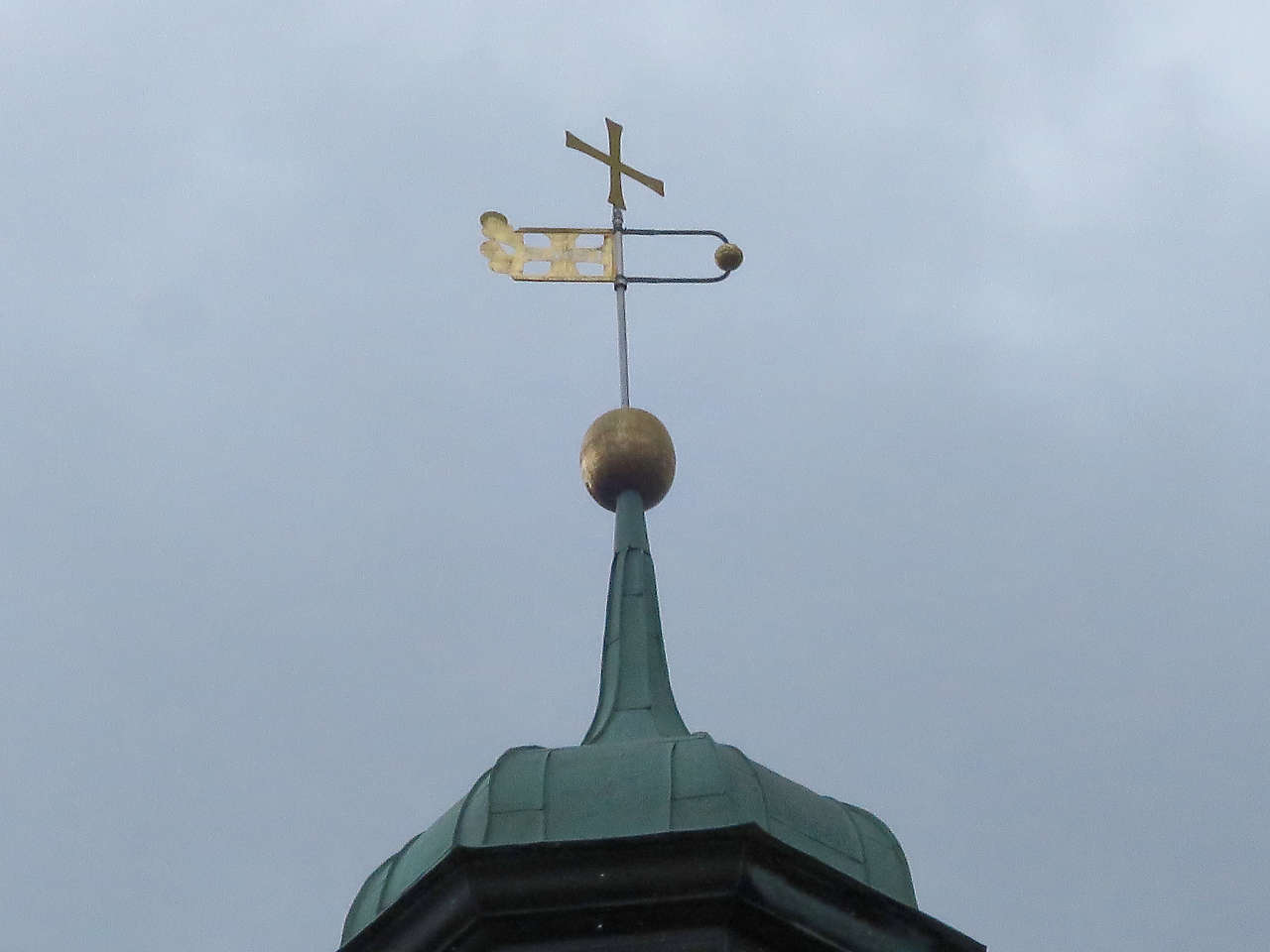
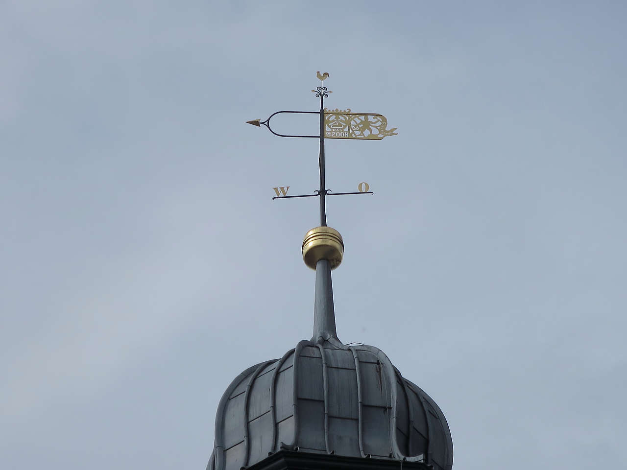
Ev. Dorfkirche, Winterfeld
52°44'24.3"N 11°14'36.6"E
Bohlweg, Wildemann
51°49'37.3"N 10°17'01.3"E
Bohlweg, Wildemann
51°49'39.6"N 10°17'00.0"E
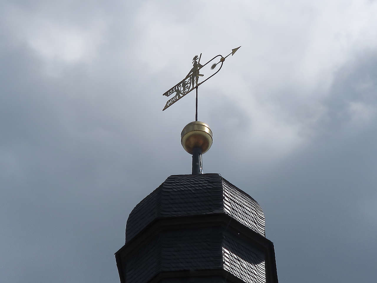
Ev. Maria-Magdalenen-Kirche, Wildemann
51°49'37.4"N 10°16'57.7"E
Oberharzer Bergwerksmuseum, Zellerfeld
51°49'01.4"N 10°20'09.4"E
Oberharzer Bergwerksmuseum, Zellerfeld
51°49'01.4"N 10°20'09.4"E
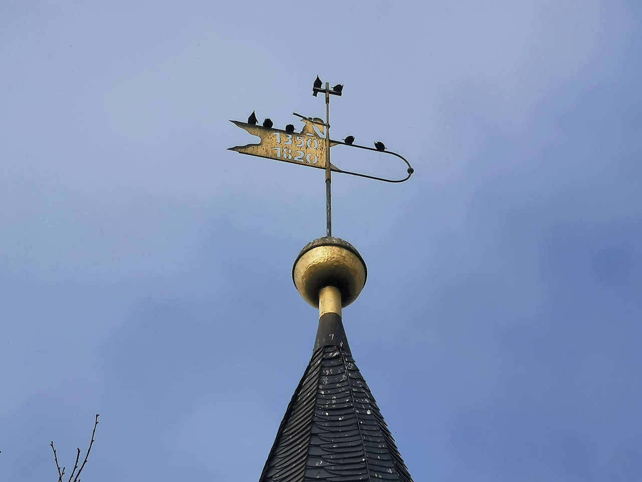
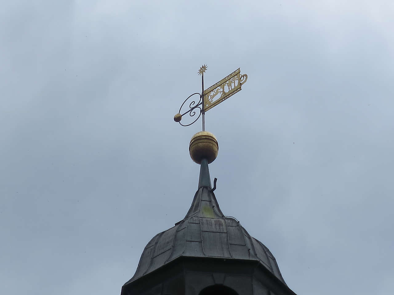
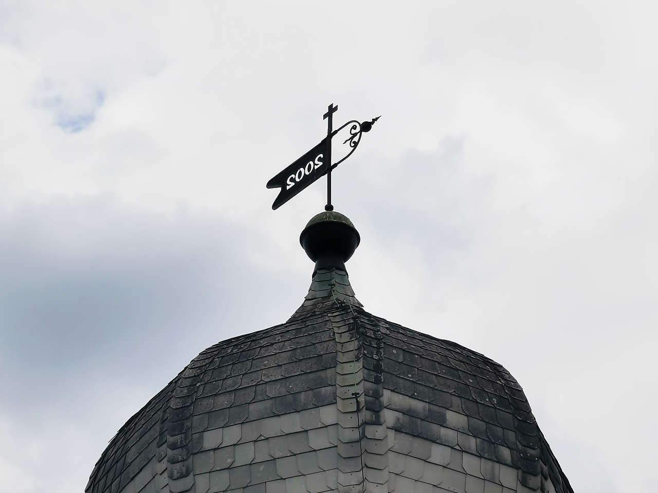
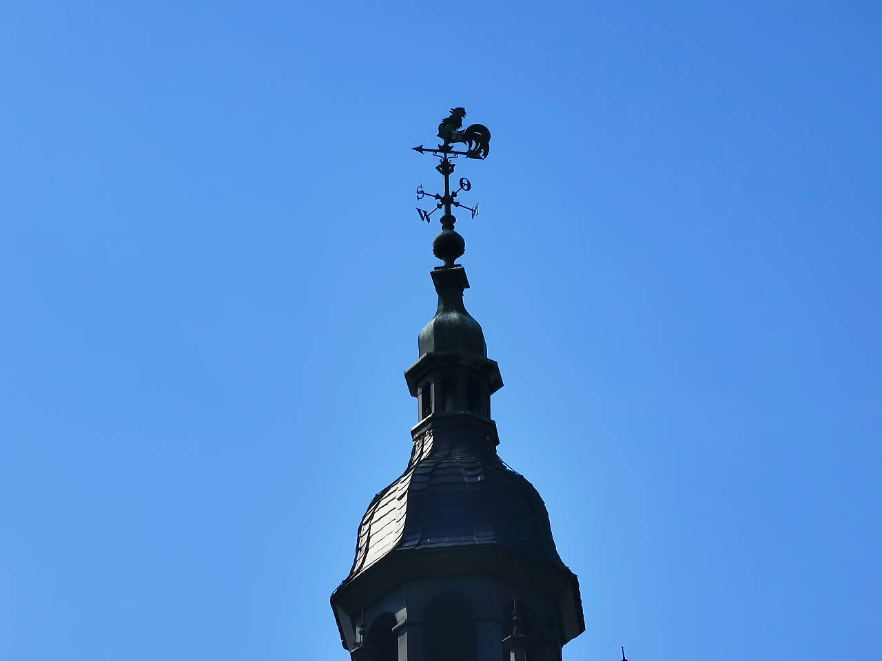
Ev. Kirche St. Salvatoris, Zellerfeld
51°48'59.0"N 10°20'11.4"E
Ev. Kirche St. Salvatoris, Zellerfeld
51°48'58.4"N 10°20'10.9"E
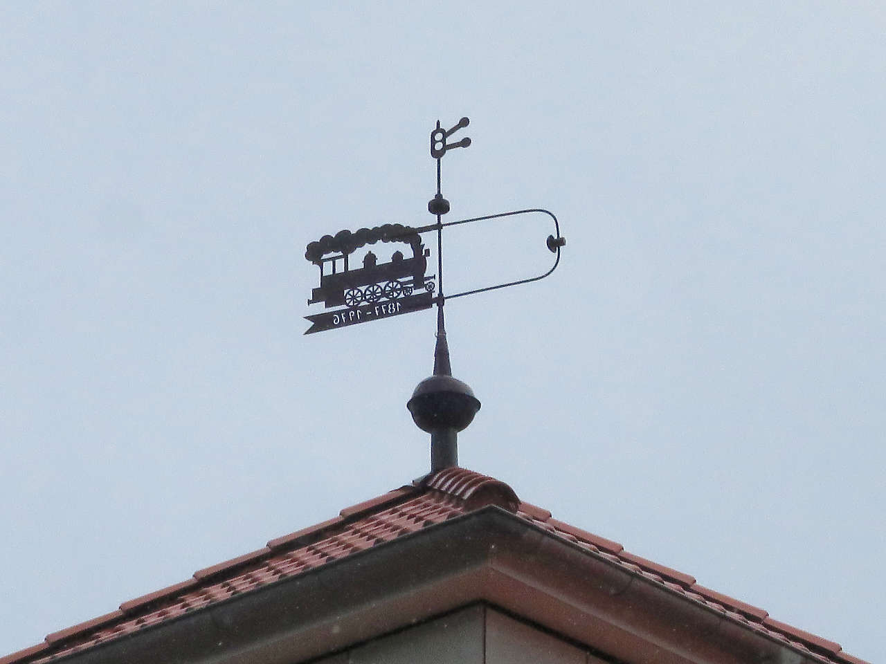
Stadtbibliothek Alter Bahnhof, Zellerfeld
51°48'48.7"N 10°20'06.5"E
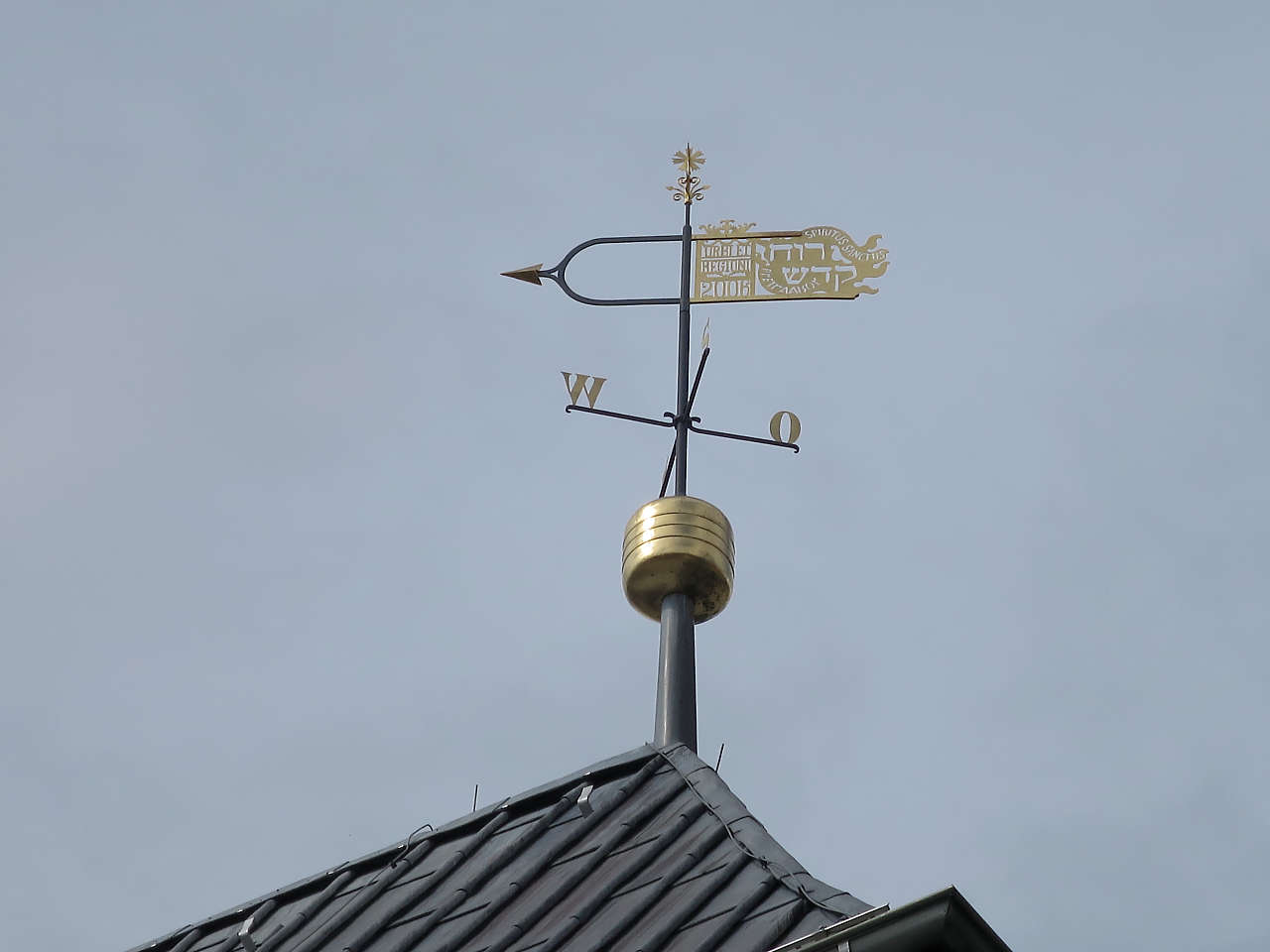
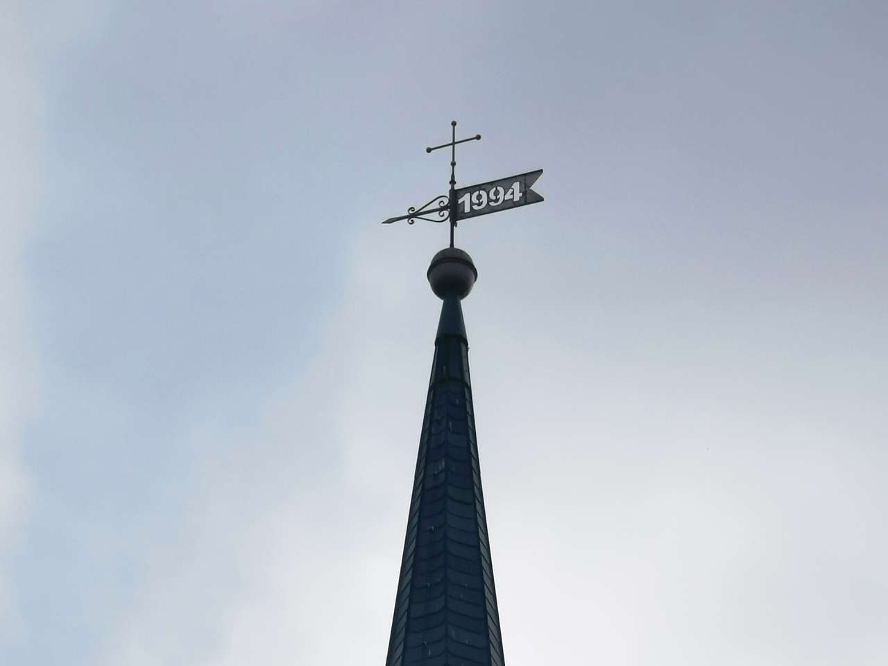
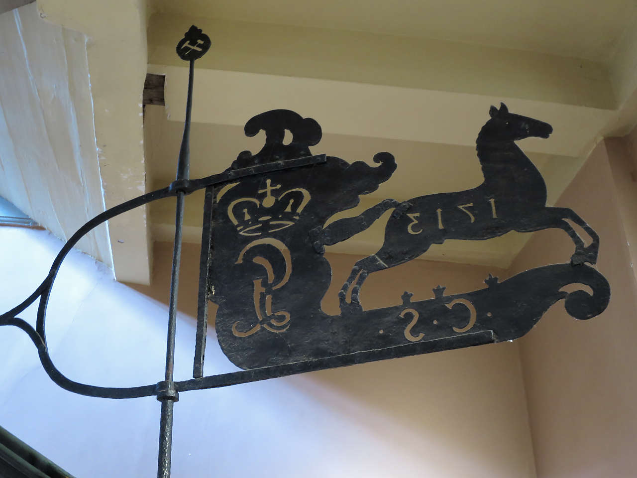
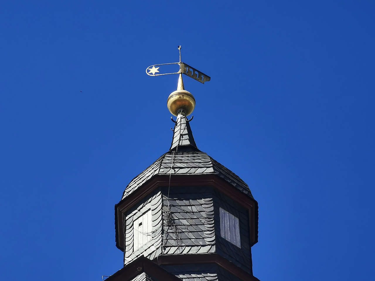
Ev. Marktkirche zum Heiligen Geist, Clausthal
51°48'14.3"N 10°20'03.3"E
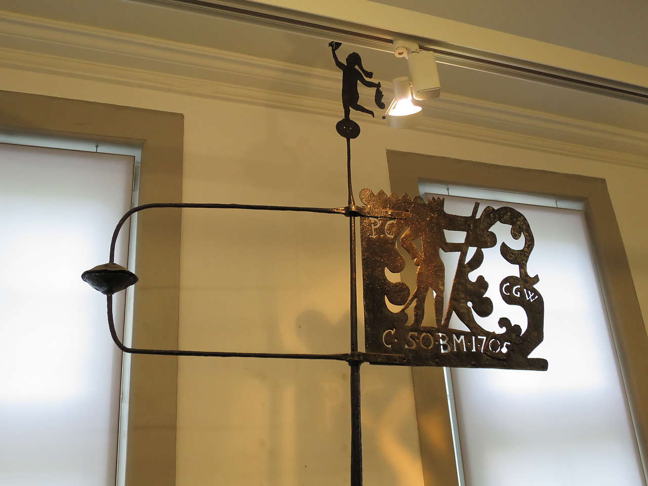
Ev. Marktkirche zum Heiligen Geist, Clausthal
51°48'14.9"N 10°20'01.5"E
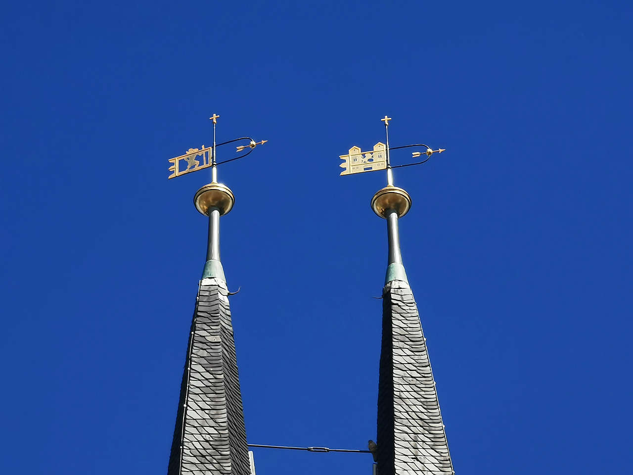
Ev. Marktkirche zum Heiligen Geist, Clausthal
51°48'14.9"N 10°20'01.3"E
Rathaus, Königsee
50°39'41.0"N 11°05'50.2"E
Ev. Dorfkirche St. Georg, Meuschau
51°21'54.0"N 12°00'20.2"E
Wasserturm, Egeln
51°56'15.2"N 11°25'13.9"E
Bergfried, Wasserburg, Egeln
51°56'39.1"N 11°26'15.0"E
Rathaus, Egeln
51°56'38.6"N 11°26'01.1"E
Ev. Stadtkirche St. Christophorus, Egeln
51°56'40.0"N 11°26'01.8"E