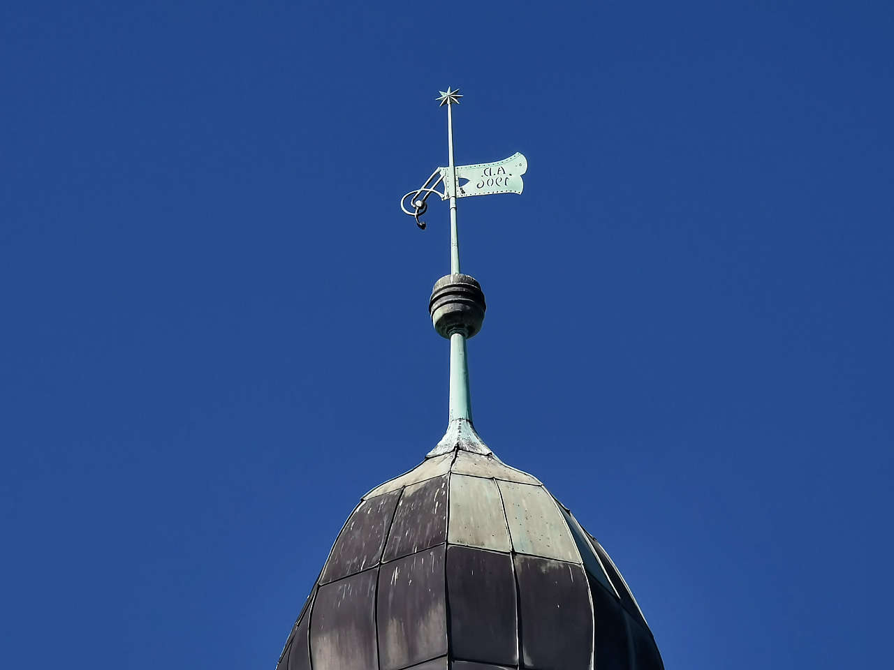
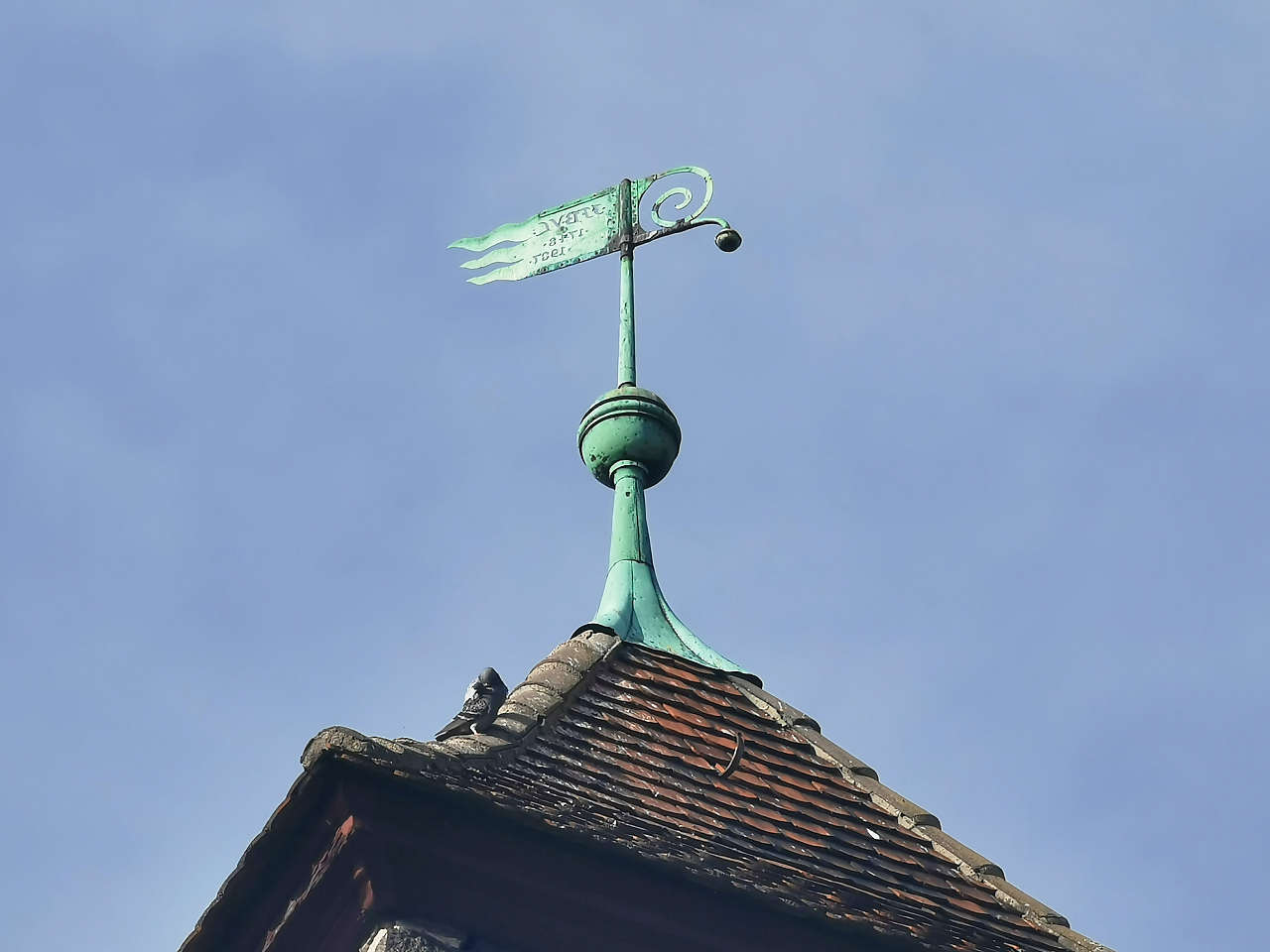
Ev. Dorfkirche, Dalichow
51°58'30.5"N 12°55'14.4"E
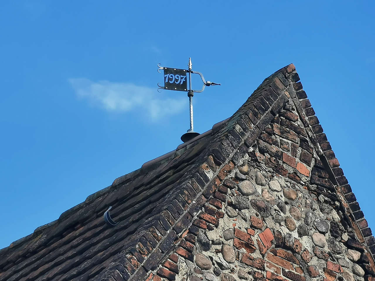
Kurzlipsdorf
51°58'10.1"N 12°51'51.8"E
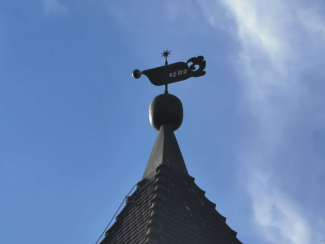
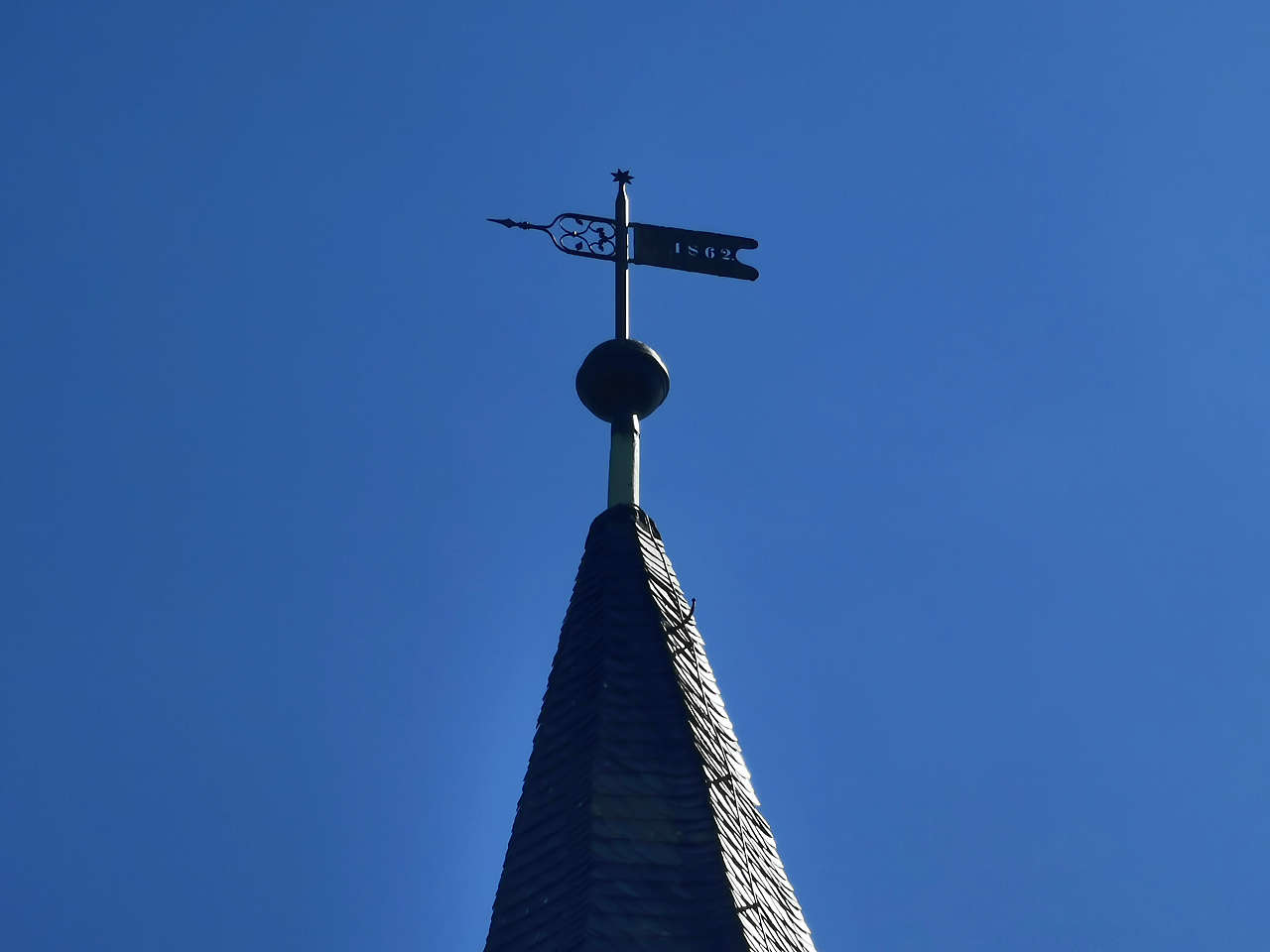
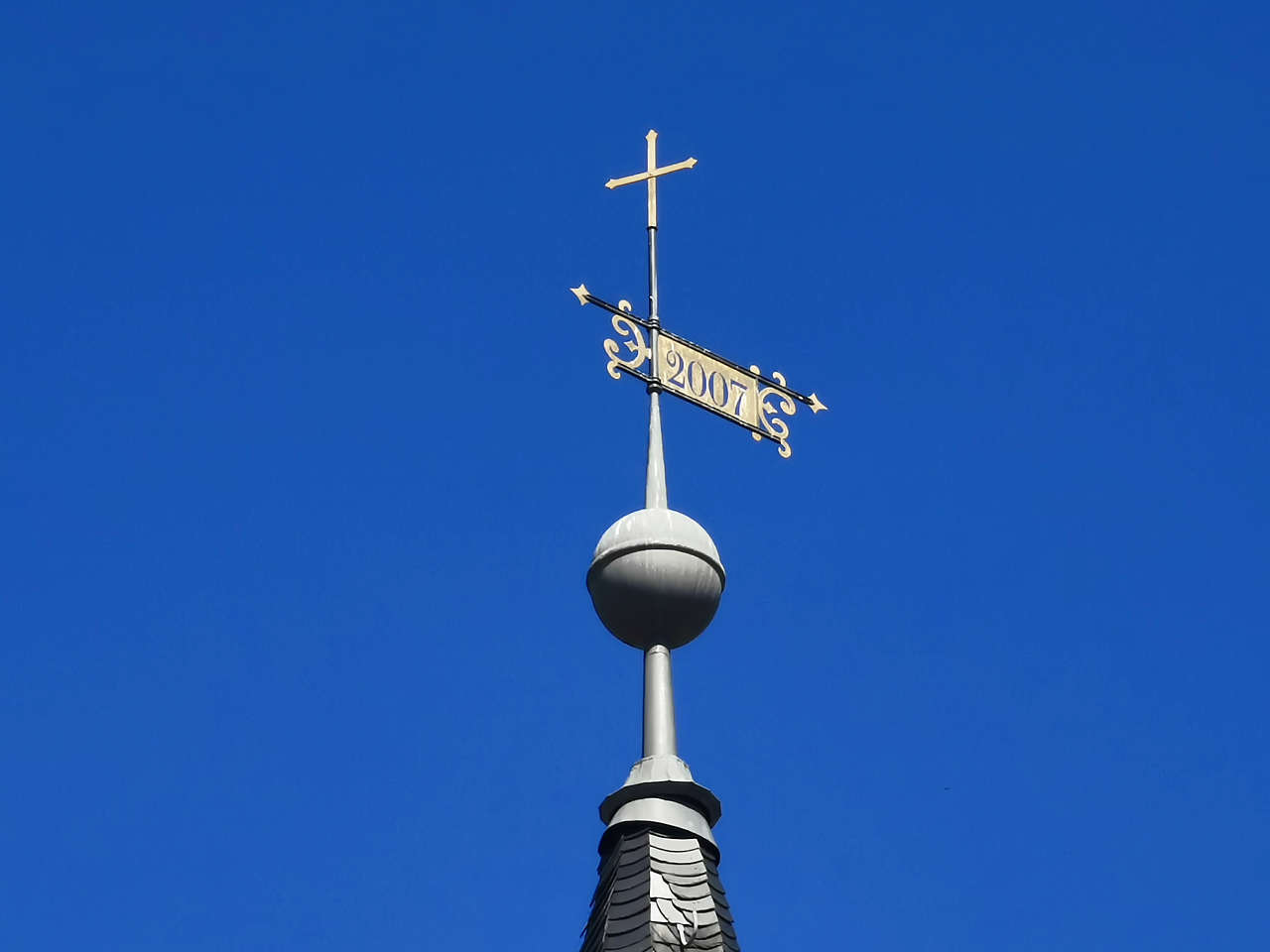
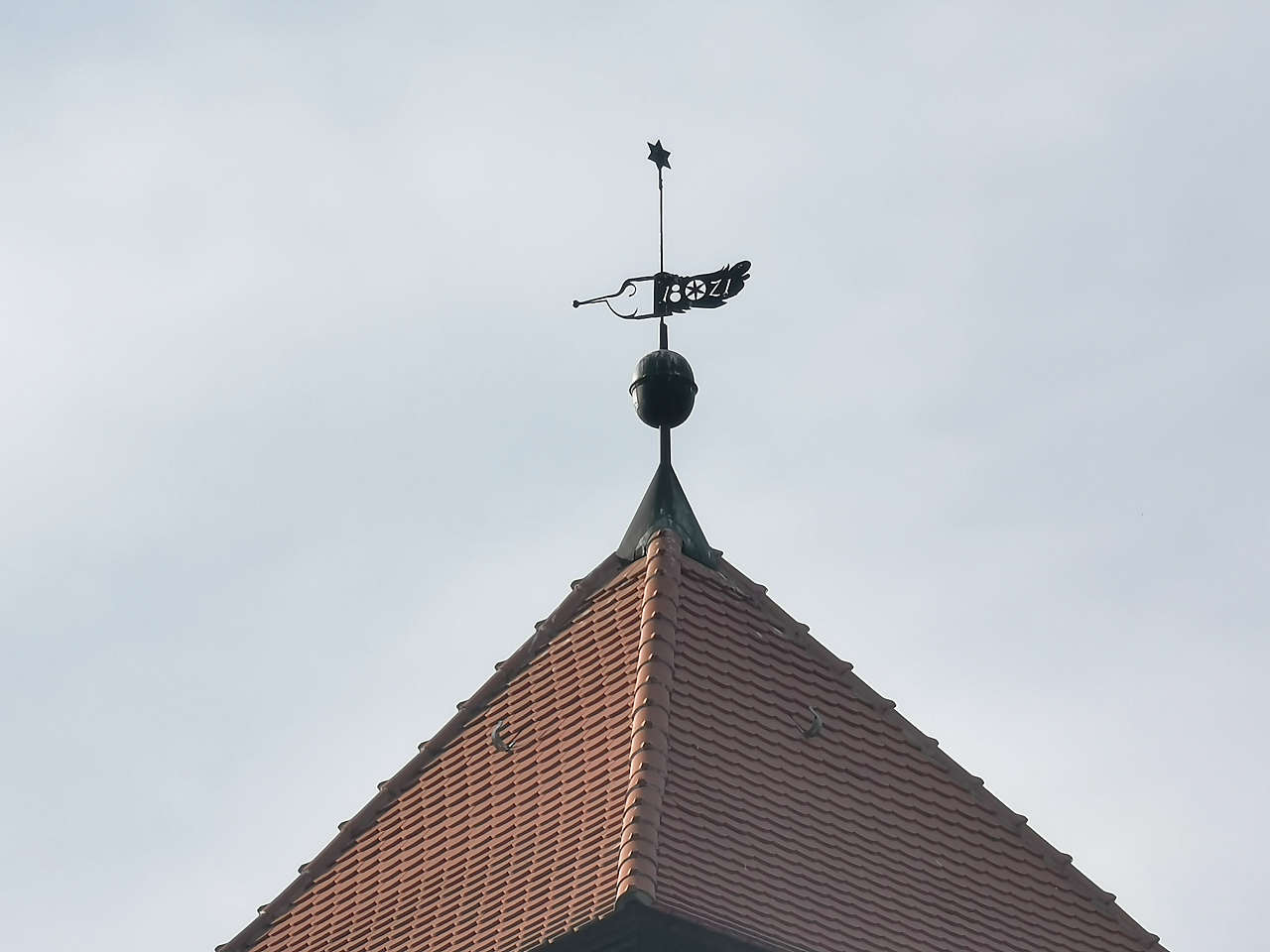
Ev. Dorfkirche, Kurzlipsdorf
51°58'12.1"N 12°51'48.9"E
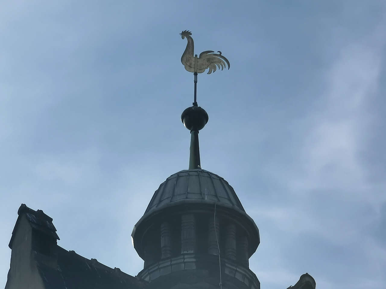
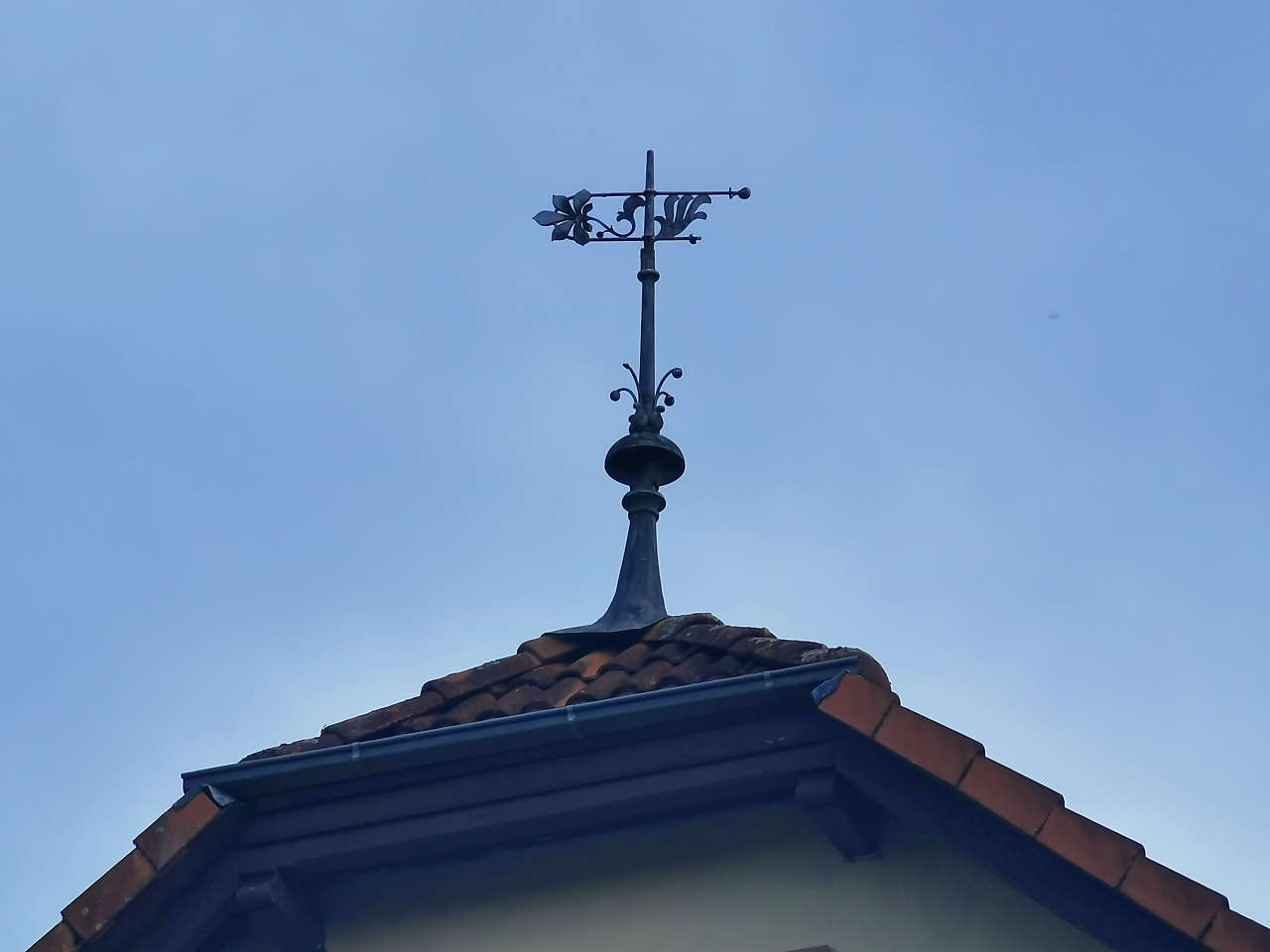
Ev. Dorfkirche, Schönefeld
51°58'41.9"N 12°49'48.2"E
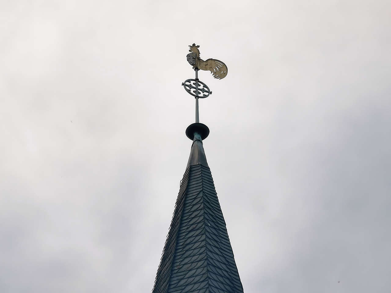
Ev. Dorfkirche, Wergzahna
51°58'18.3"N 12°47'14.7"E
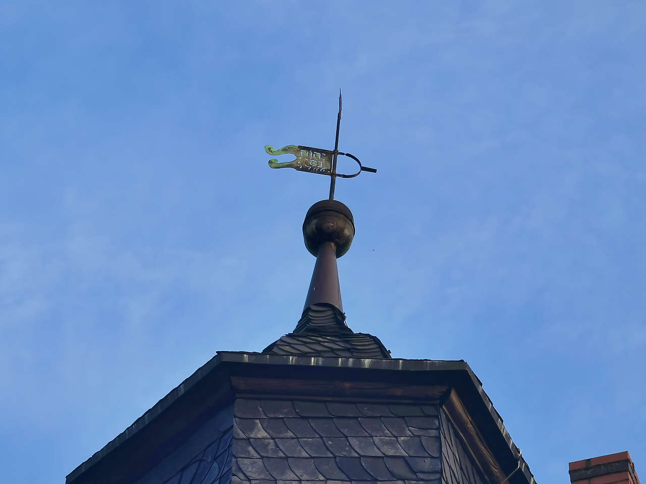
Ev. Dorfkirche, Kropstädt
51°57'52.3"N 12°44'48.7"E
Am Schlosspark, Kropstädt
51°57'50.9"N 12°44'46.4"E
Schloss Kropstädt
51°57'46.0"N 12°44'37.5"E
Ev. Dorfkirche, Raben
52°02'33.5"N 12°34'37.9"E
Lehnsdorf
52°02'14.5"N 12°31'24.2"E
Lehnsdorf
52°02'14.6"N 12°31'19.4"E
Ev. Dorfkirche, Lehnsdorf
52°02'13.6"N 12°31'07.7"E
Ev. Dorfkirche, Klepzig
52°01'16.9"N 12°32'02.1"E
Vorwerk Zehrensdorf, Raben
52°01'59.2"N 12°33'07.0"E
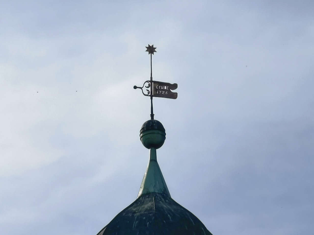
Ev. Dorfkirche, Grubo
52°04'36.2"N 12°31'30.8"E
Ev. Dorfkirche, Kranepuhl
52°05'56.9"N 12°36'57.4"E
Ev. Dorfkirche, Kuhlowitz
52°08'15.7"N 12°38'34.2"E
Ev. Dorfkirche, Lüsse
52°08'57.8"N 12°39'25.0"E
Ev. Dorfkirche, Baitz
52°10'16.8"N 12°40'44.7"E
Ehem. Jagdschloss und Forsthaus Wiesenau, Baitz
52°09'39.2"N 12°39'23.2"E
Hauptstr., Golzow
52°16'38.3"N 12°36'06.4"E
Ev. Dorfkirche, Ragösen
52°14'27.1"N 12°34'49.2"E
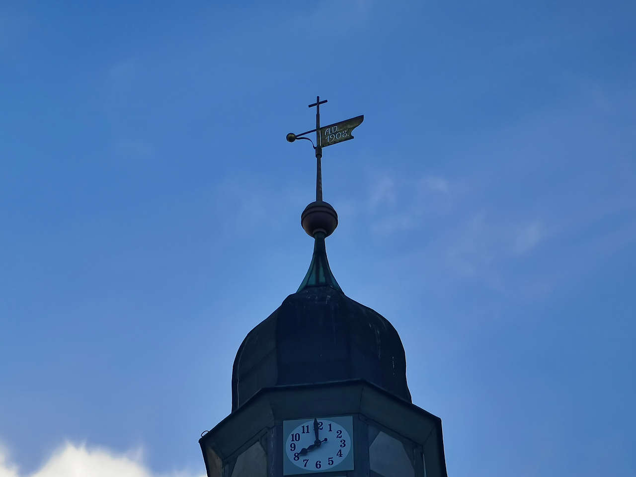
Ev. Kirche St. Briccius, Bad Belzig
52°08'11.9"N 12°35'02.1"E
Ev. Dorfkirche St. Pankratius, Borne
52°06'44.0"N 12°32'15.9"E