Thomas-Müntzer-Str., Brück
52°11'25.3"N 12°45'31.3"E
Str. der Einheit, Rottstock
52°10'39.9"N 12°45'08.9"E
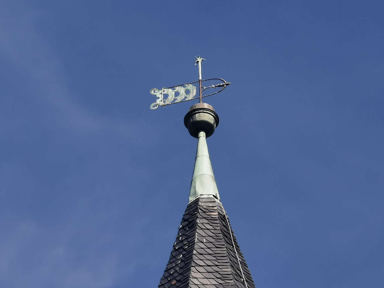
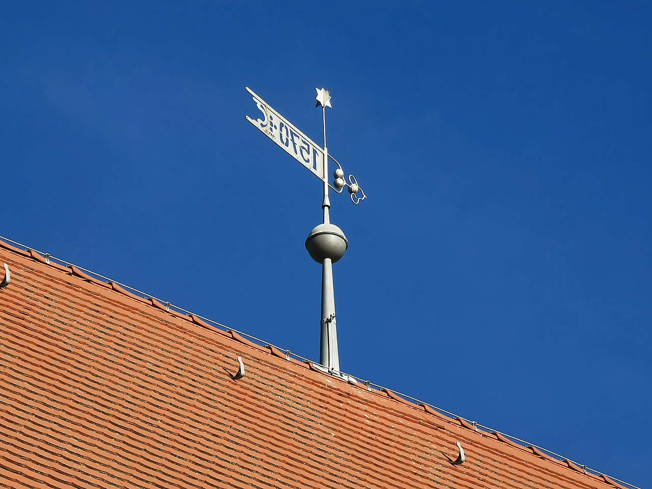
Ev. Dorfkirche, Rottstock
52°10'37.6"N 12°44'51.1"E
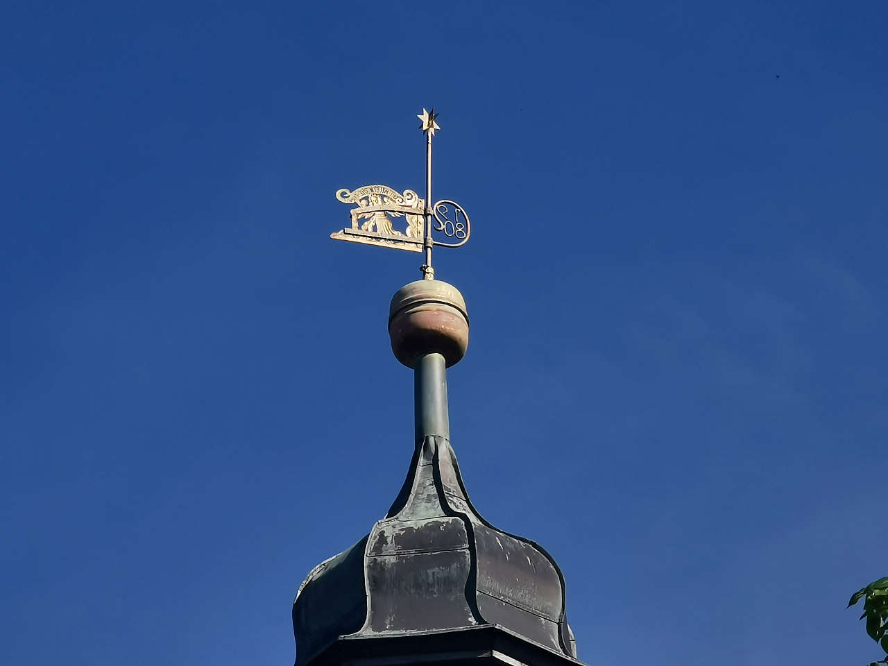
Ev. Dorfkirche, Gömnigk
52°10'06.4"N 12°44'03.4"E
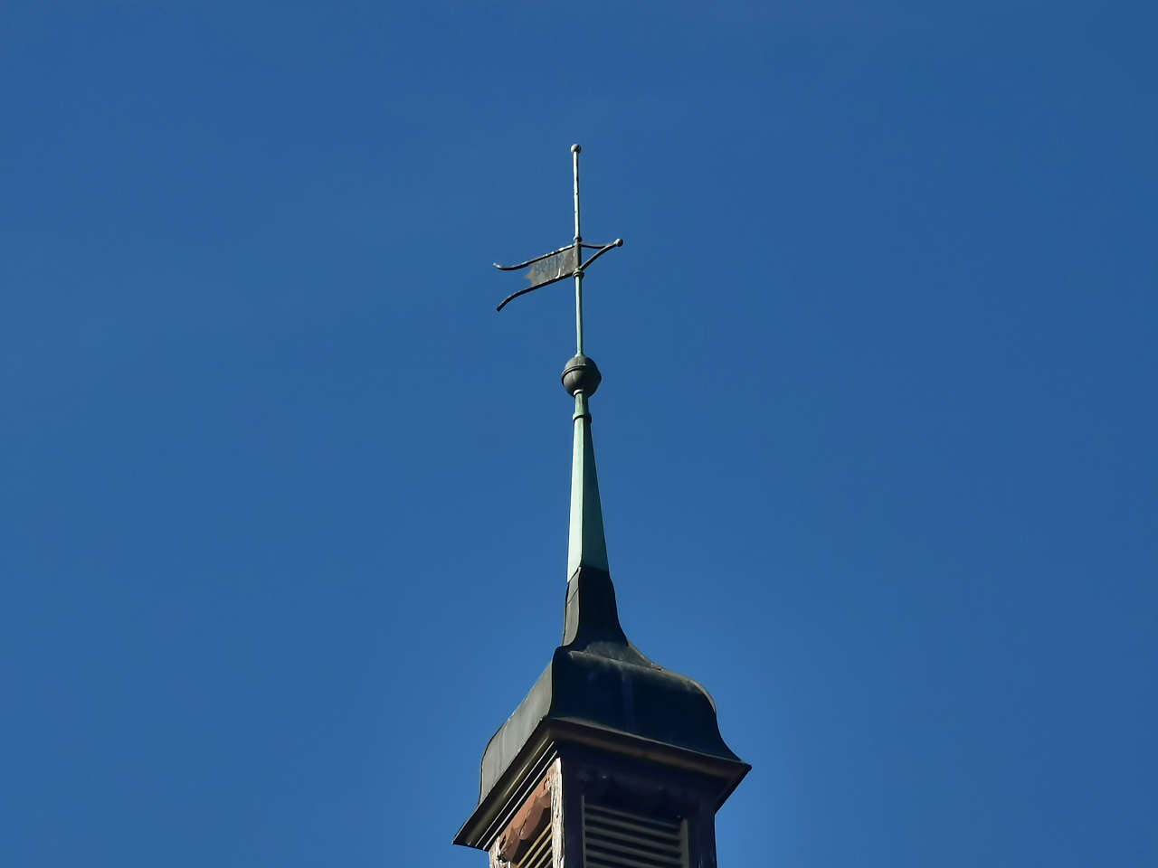
Ev. Dorfkirche, Neschholz
52°09'05.2"N 12°41'41.6"E
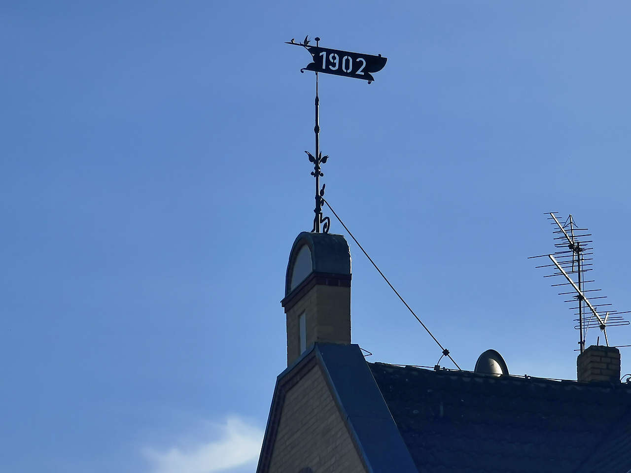
Neschholz
52°09'06.1"N 12°41'42.3"E
Ev. Dorfkirche, Locktow
52°07'38.2"N 12°42'17.1"E
Hauptstr., Locktow
52°07'38.7"N 12°42'15.9"E
Ev. Dorfkirche, Fredersdorf
52°11'25.7"N 12°38'19.3"E
Ev. Dorfkirche, Schwanebeck
52°10'33.1"N 12°37'37.2"E
Oberlin Rehaklinik, Bad Belzig
52°09'54.2"N 12°35'10.9"E
Bahnhofstr., Niemegk
52°04'40.8"N 12°41'19.7"E
Rathaus, Niemegk
52°04'29.1"N 12°41'20.0"E
Dorfstr., Neuendorf
52°03'15.2"N 12°39'42.6"E
Ev. Dorfkirche, Rädigke
52°03'10.8"N 12°37'22.9"E
Ev. Dorfkirche, Grabo
51°56'58.0"N 12°38'44.5"E
Jagdschloss Hubertusberg, Möllensdorf
51°54'35.8"N 12°30'59.3"E
Merkwitz
51°45'31.5"N 12°41'31.9"E

Ev. Dorfkirche, Globig
51°47'24.1"N 12°44'43.1"E
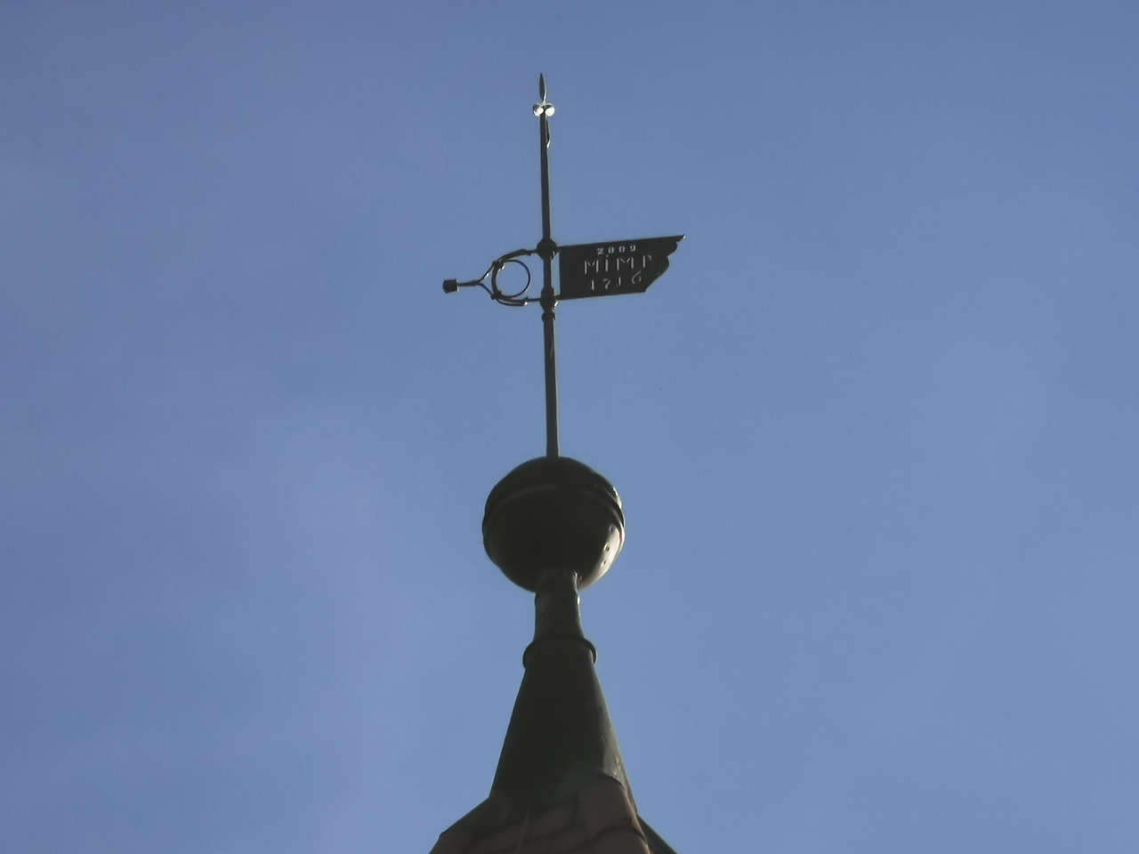
Ev. Dorfkirche St. Petri, Wartenburg
51°48'43.9"N 12°46'44.4"E
Markt, Elster (Elbe)
51°49'38.1"N 12°49'35.5"E
Ev. Kirche, Elster (Elbe)
51°49'44.4"N 12°49'17.6"E
Ev. Dorfkirche, Gorsdorf
51°47'56.4"N 12°51'57.0"E
Wasserschloss, Hemsendorf
51°47'45.3"N 12°53'01.0"E