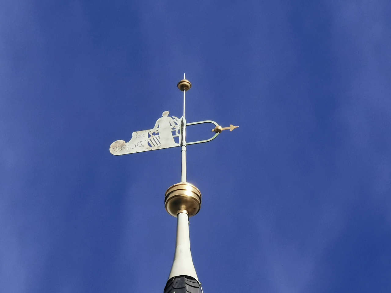
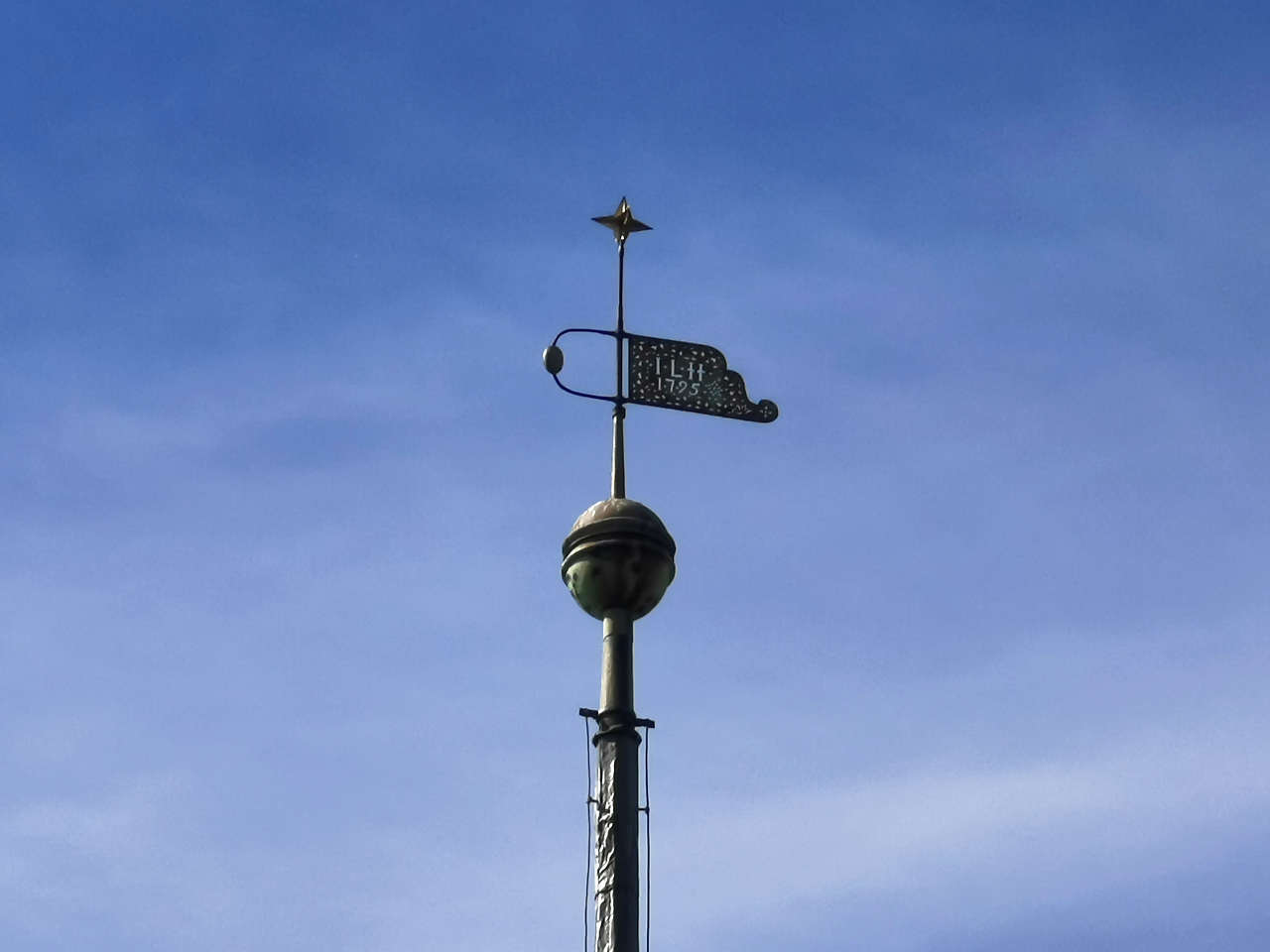
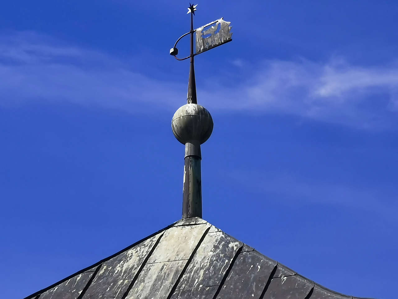
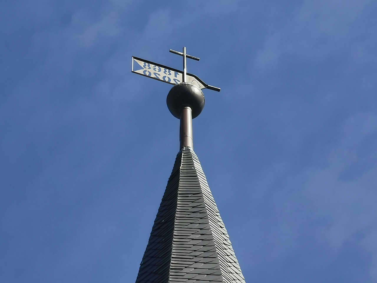
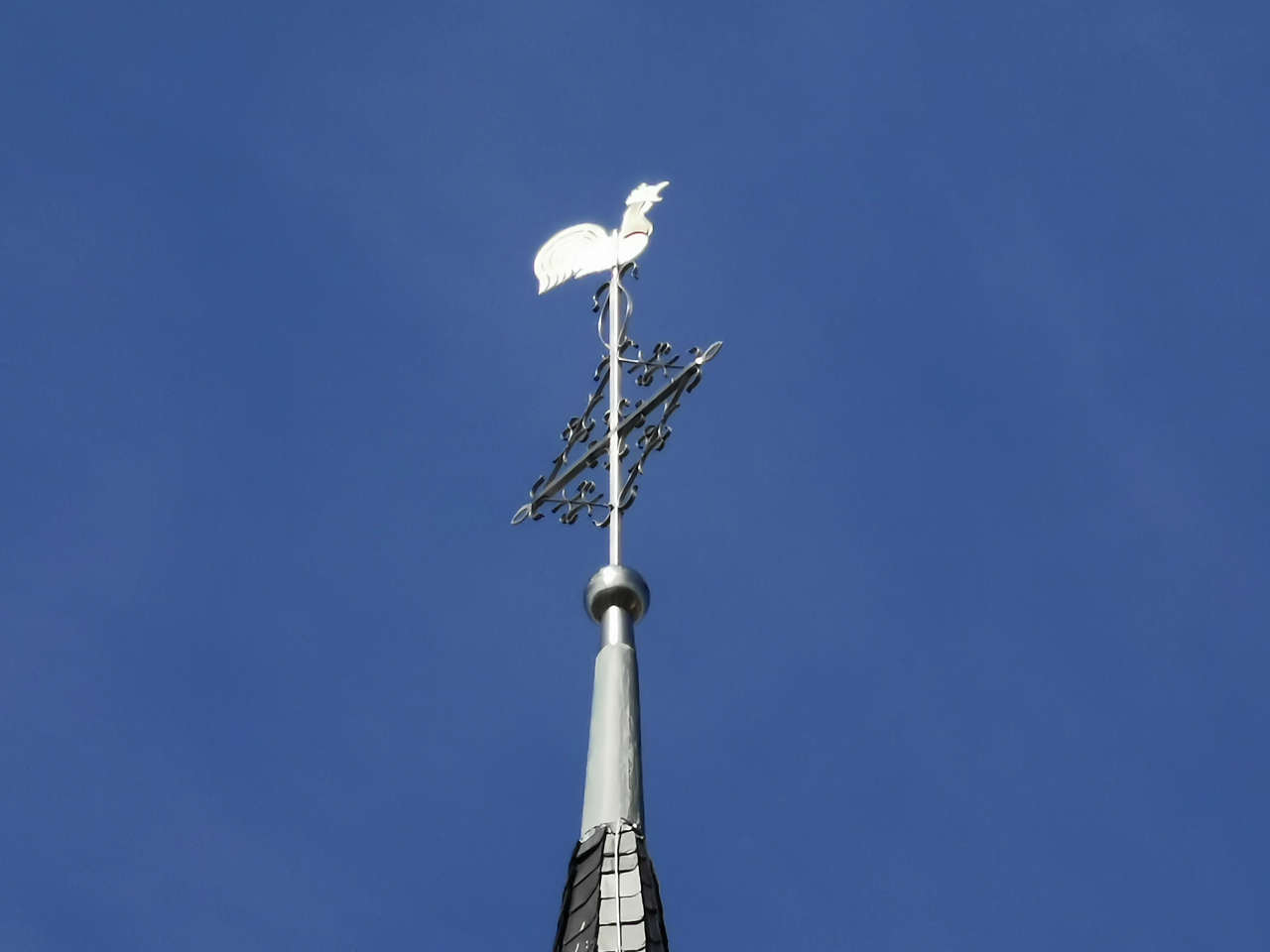
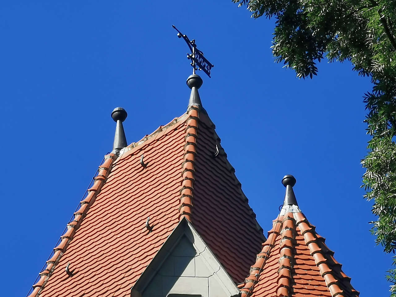
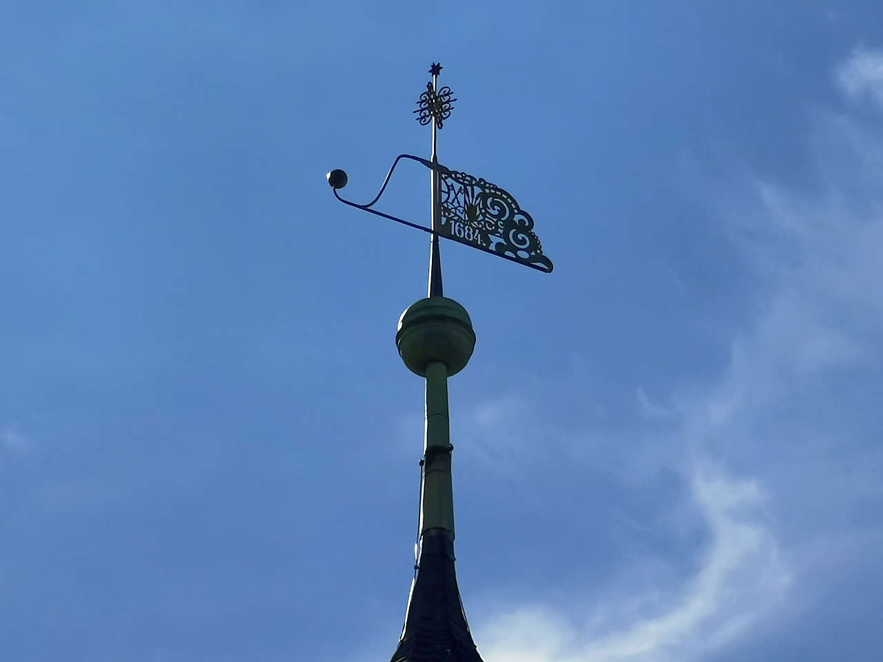
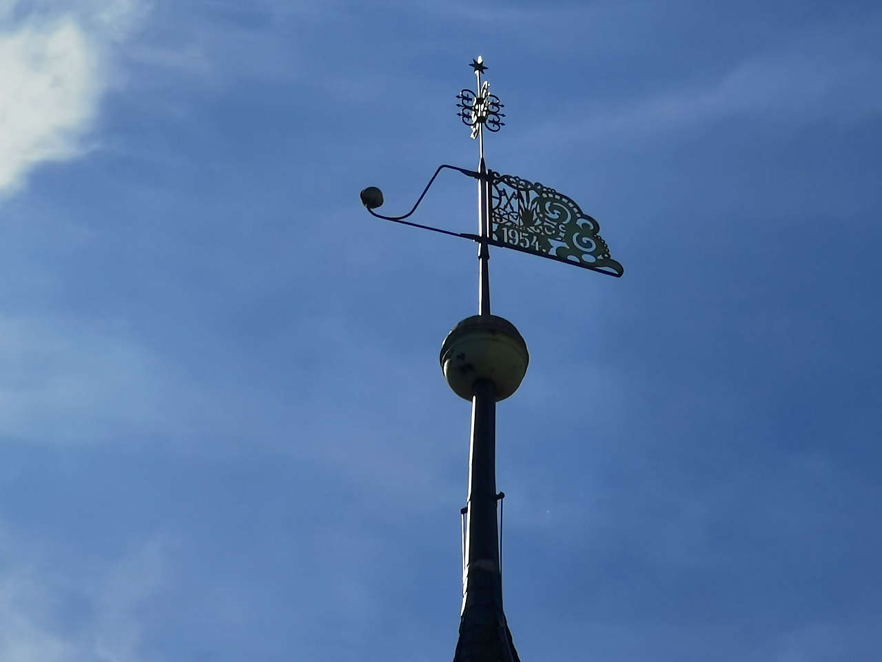
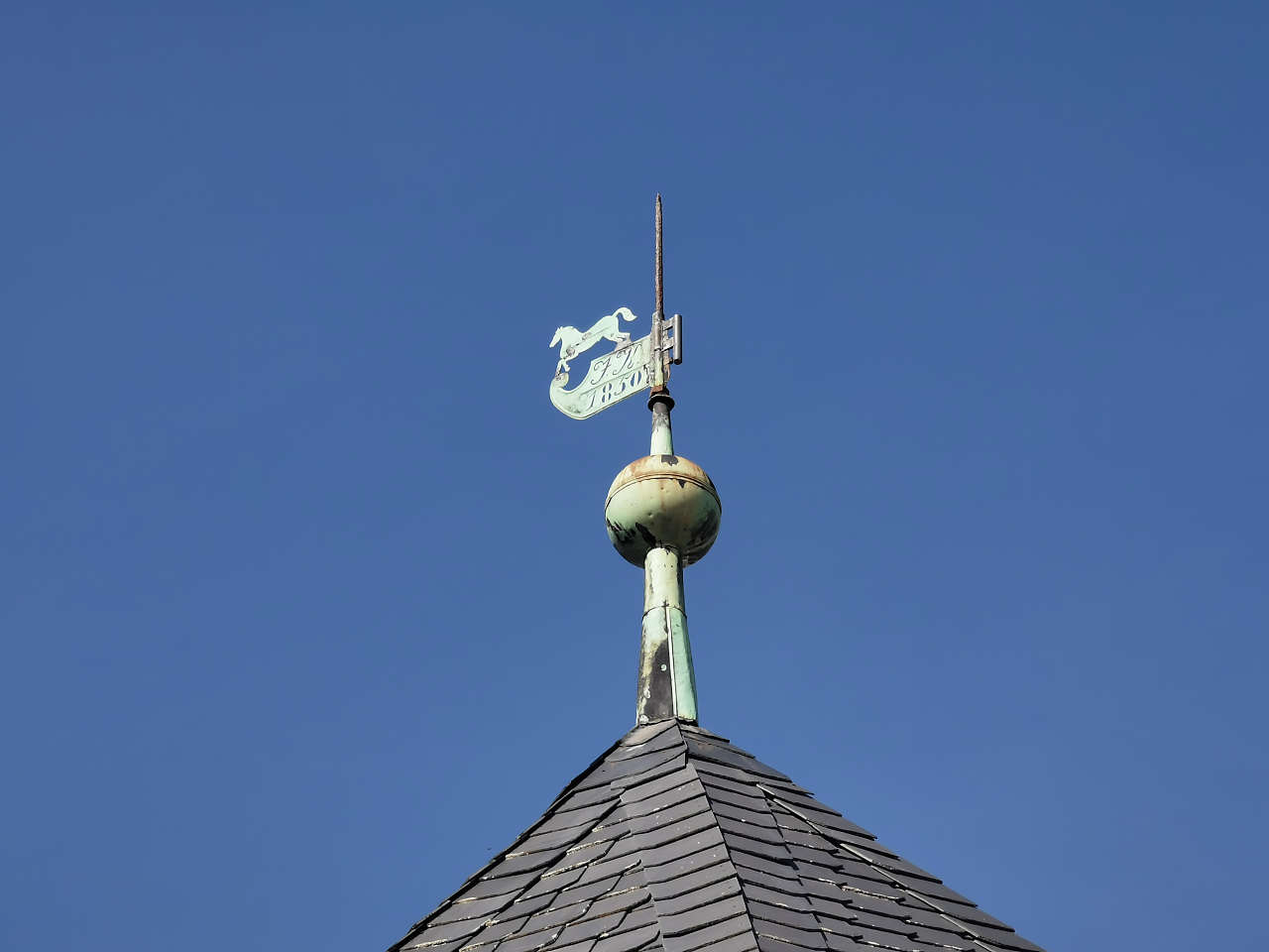
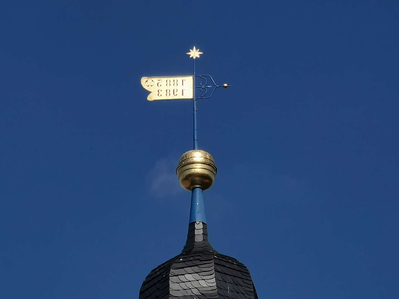
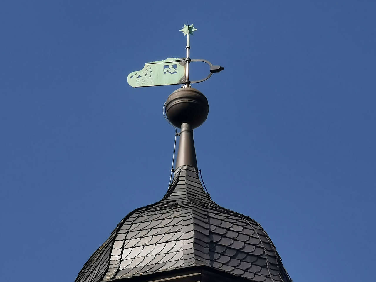
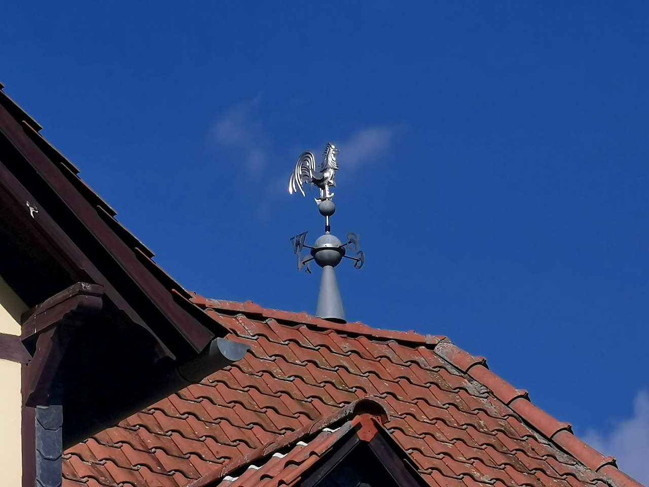
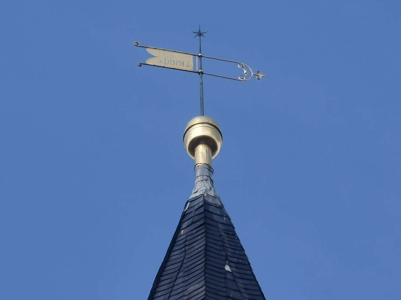
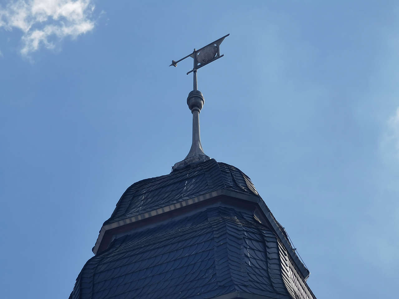
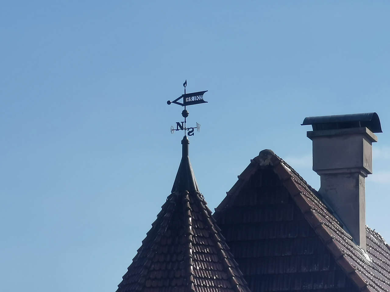
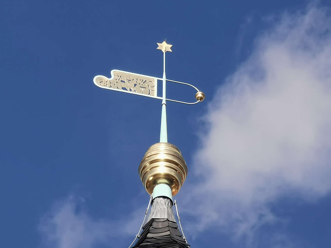
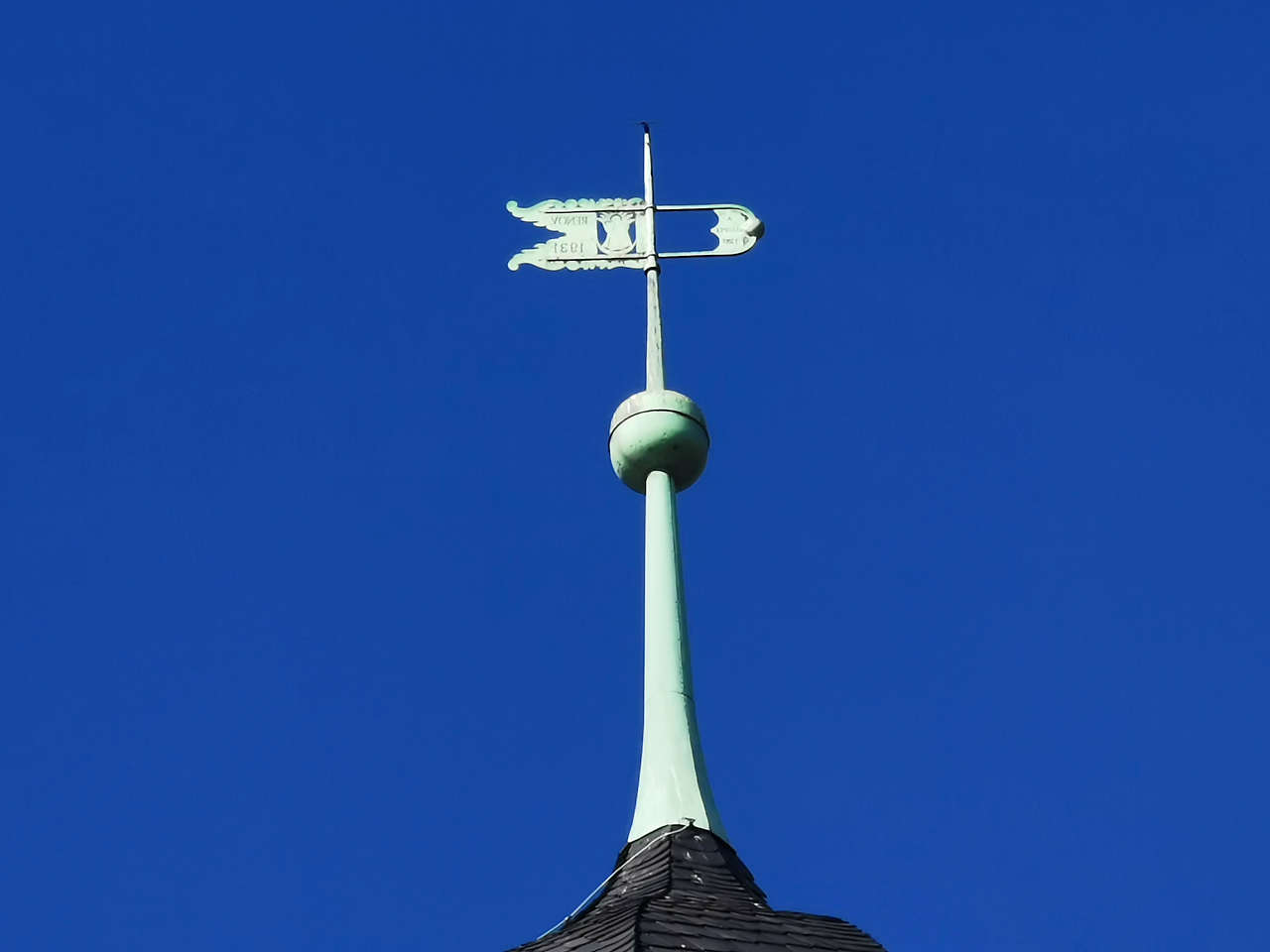
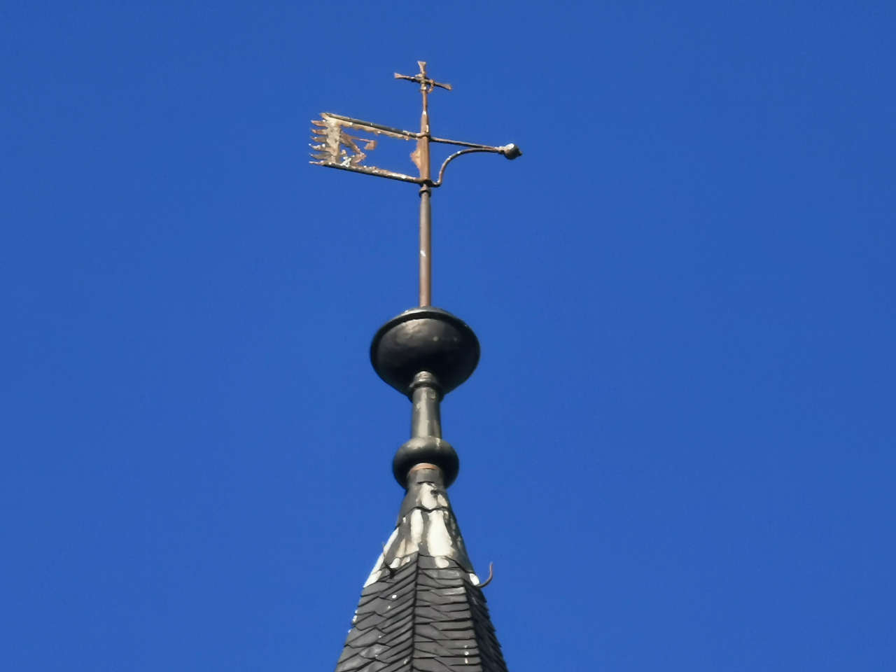
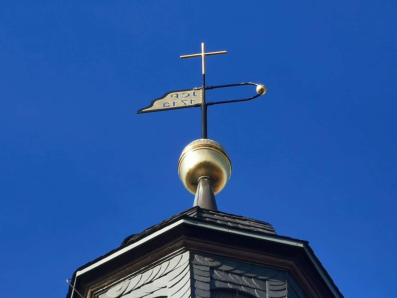
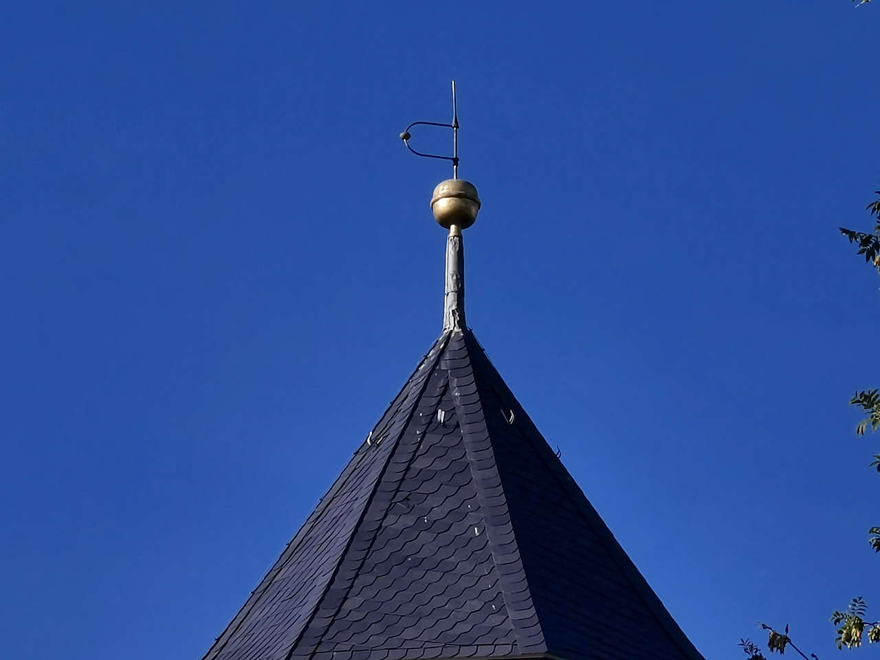
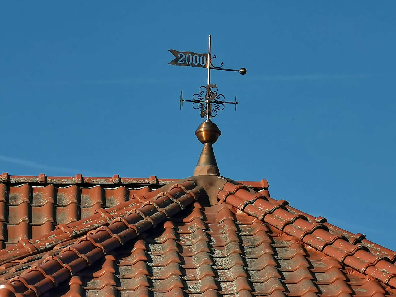
Ev. Dorfkirche St. Laurentius, Nieder-Börnecke, Groß Börnecke
51°53'10.2"N 11°28'25.1"E
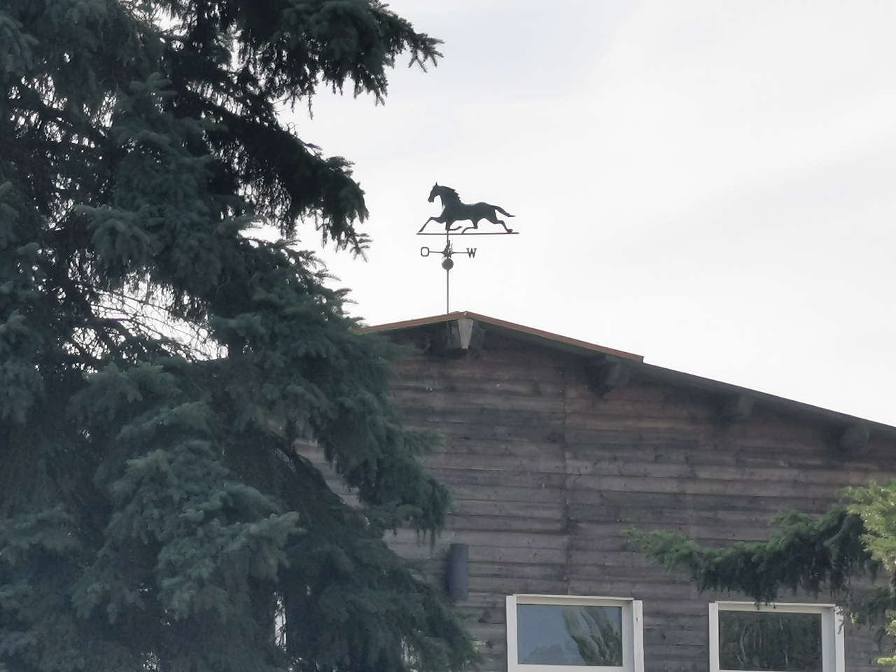
Schäferei, Schneidlingen
51°53'23.5"N 11°26'39.4"E
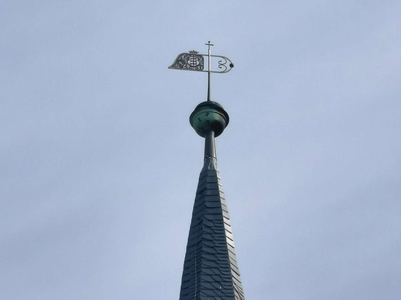
Ev. Kirche St. Stephani, Cochstedt
51°52'51.0"N 11°24'42.0"E
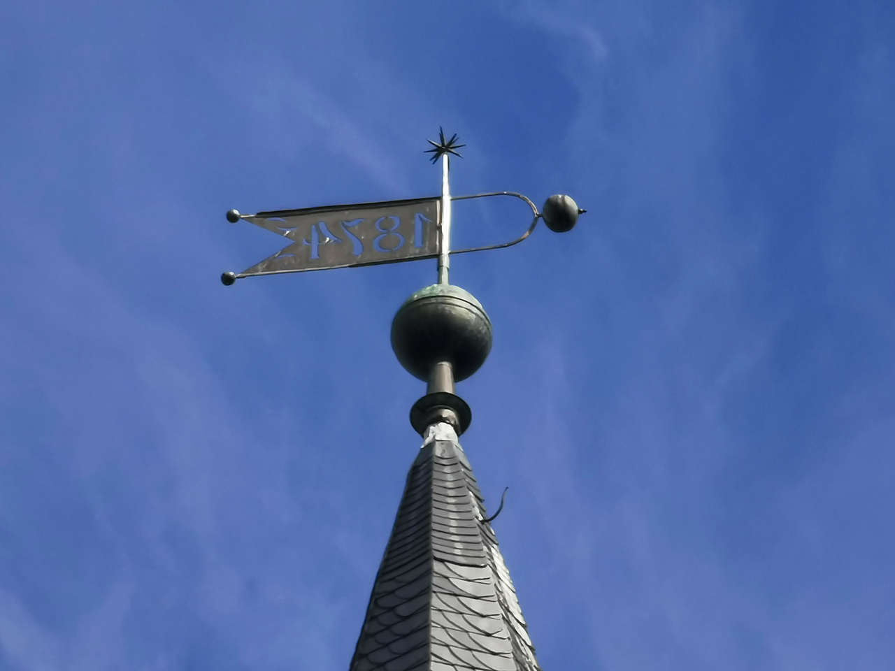
Ev. Dorfkirche St. Alexandri, Hakeborn
51°55'09.2"N 11°21'54.3"E
Ev. Dorfkirche St. Michaelis, Etgersleben
51°58'44.8"N 11°24'36.4"E
Ev. Dorfkirche St. Spiritus, Groß Germersleben
52°00'12.6"N 11°21'37.7"E
Ev. Dorfkirche, Klein Oschersleben
52°00'30.9"N 11°20'09.1"E
Kath. Dorfkirche St. Marien Unbefleckte Empfängnis, Klein Oschersleben
52°00'30.0"N 11°20'25.4"E
Wasserturm, Schlosspark, Schloss Peseckendorf
52°01'25.4"N 11°19'04.3"E
Ev. Kirche St. Nicolai, Oschersleben
52°01'34.6"N 11°13'37.5"E
Ev. Kirche St. Nicolai, Oschersleben
52°01'35.0"N 11°13'37.5"E
Str. der Einheit, Hornhausen
52°02'40.5"N 11°10'19.1"E
Ev. Dorfkirche St. Stephani, Hornhausen
52°02'44.1"N 11°10'22.0"E
Ehem. Gutskapelle, Schloss Neindorf
52°03'55.3"N 11°11'27.3"E
Ehem. Rentamt, Schloss Neindorf
52°04'01.0"N 11°11'25.8"E
Ev. Dorfkirche St. Georg, Beckendorf
52°05'37.4"N 11°09'17.4"E
Ehem. Villa Bode, Ausleben
52°05'27.1"N 11°06'44.9"E
Friedensstr., Warsleben
52°05'57.6"N 11°07'03.9"E
Ev. Oktogonkirche, Üplingen
52°07'02.9"N 11°08'12.4"E
Klosterkirche St. Marien, Marienborn
52°11'49.1"N 11°06'30.3"E
Ev. Dorfkirche, Belsdorf
52°11'41.1"N 11°09'17.4"E
Ev. Dorfkirche, Ummendorf
52°09'21.5"N 11°10'54.7"E
Bergfried, Burg Ummendorf
52°09'18.8"N 11°10'58.6"E
Scholle, Ummendorf
52°09'13.8"N 11°11'35.5"E
