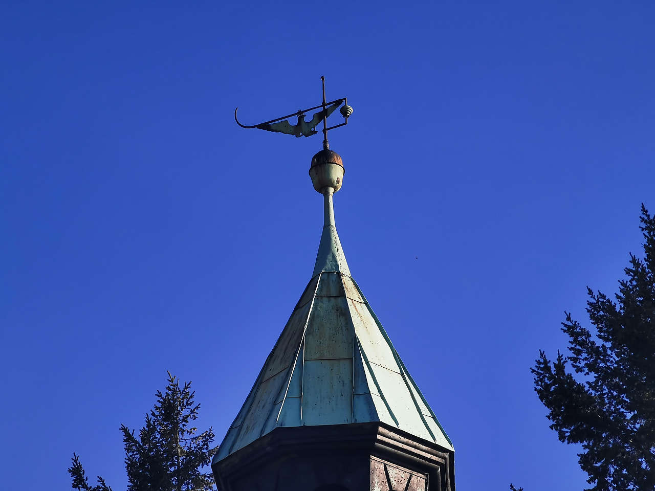
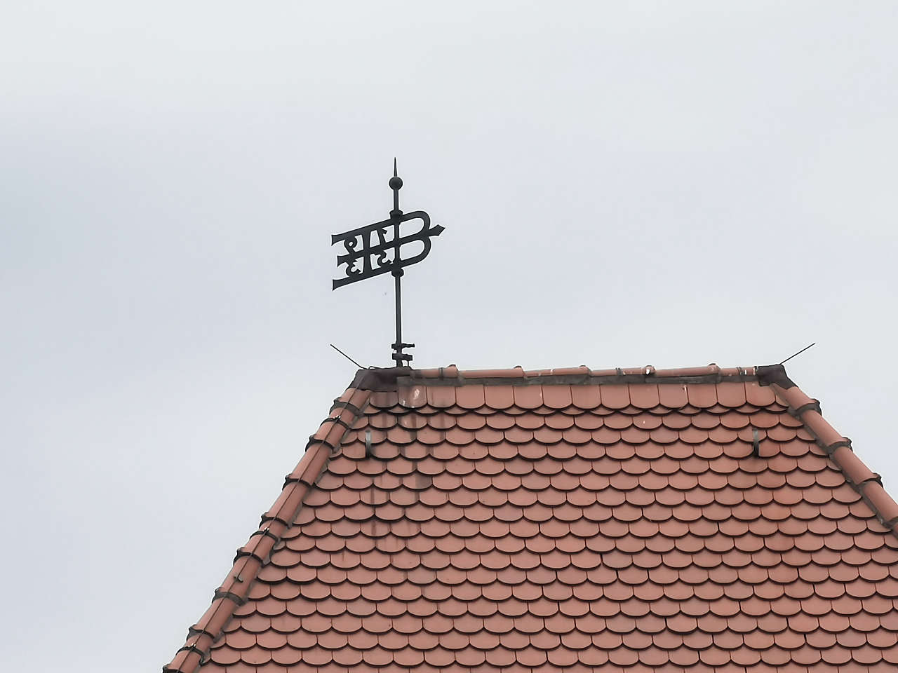
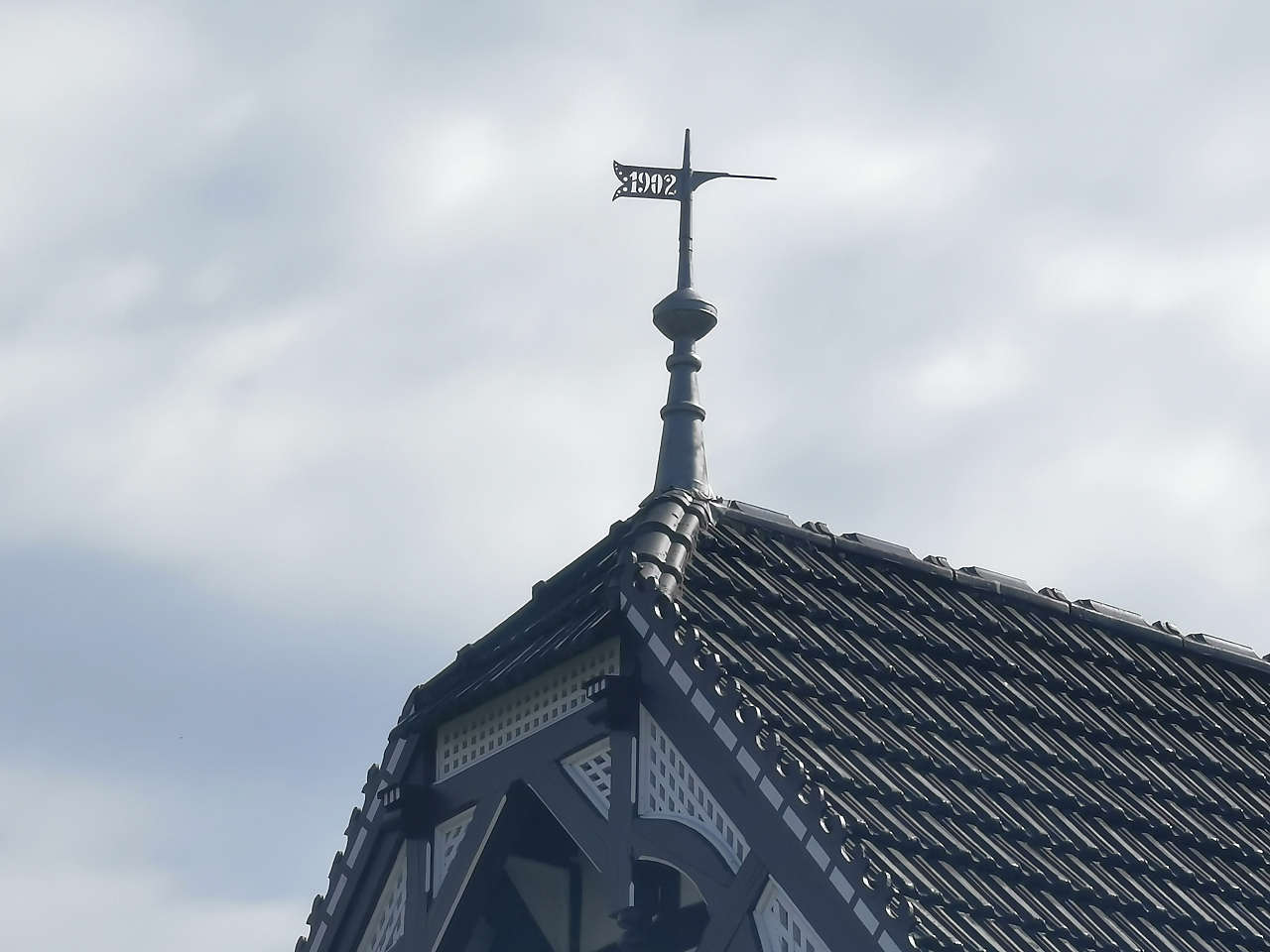
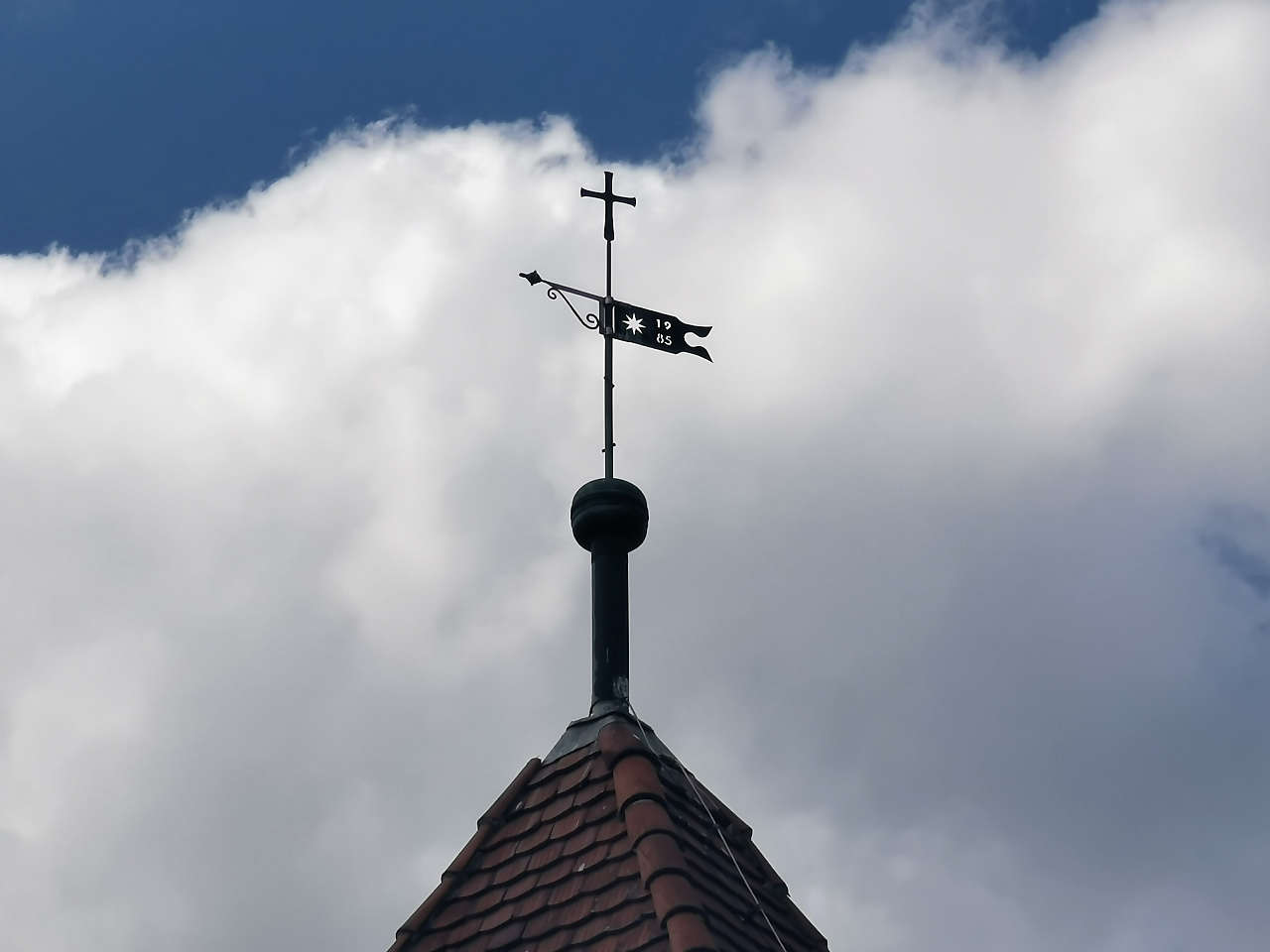
Ev. Heidereiterkirche, Schweinitz
52°06'30.0"N 12°11'32.0"E
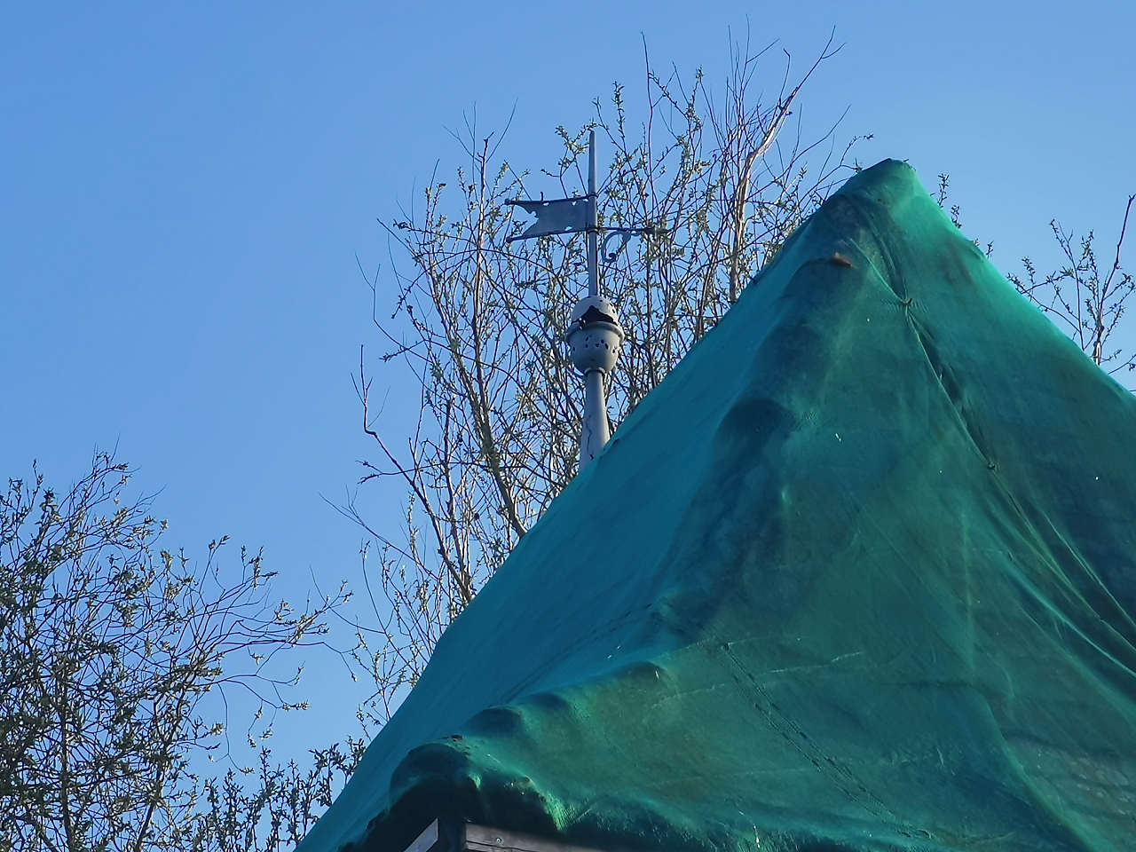
Transformatorenstation, Mühro
52°00'40.3"N 12°14'00.1"E
Ev. Dorfkirche St. Johannes, Goltewitz
51°47'30.5"N 12°25'20.1"E
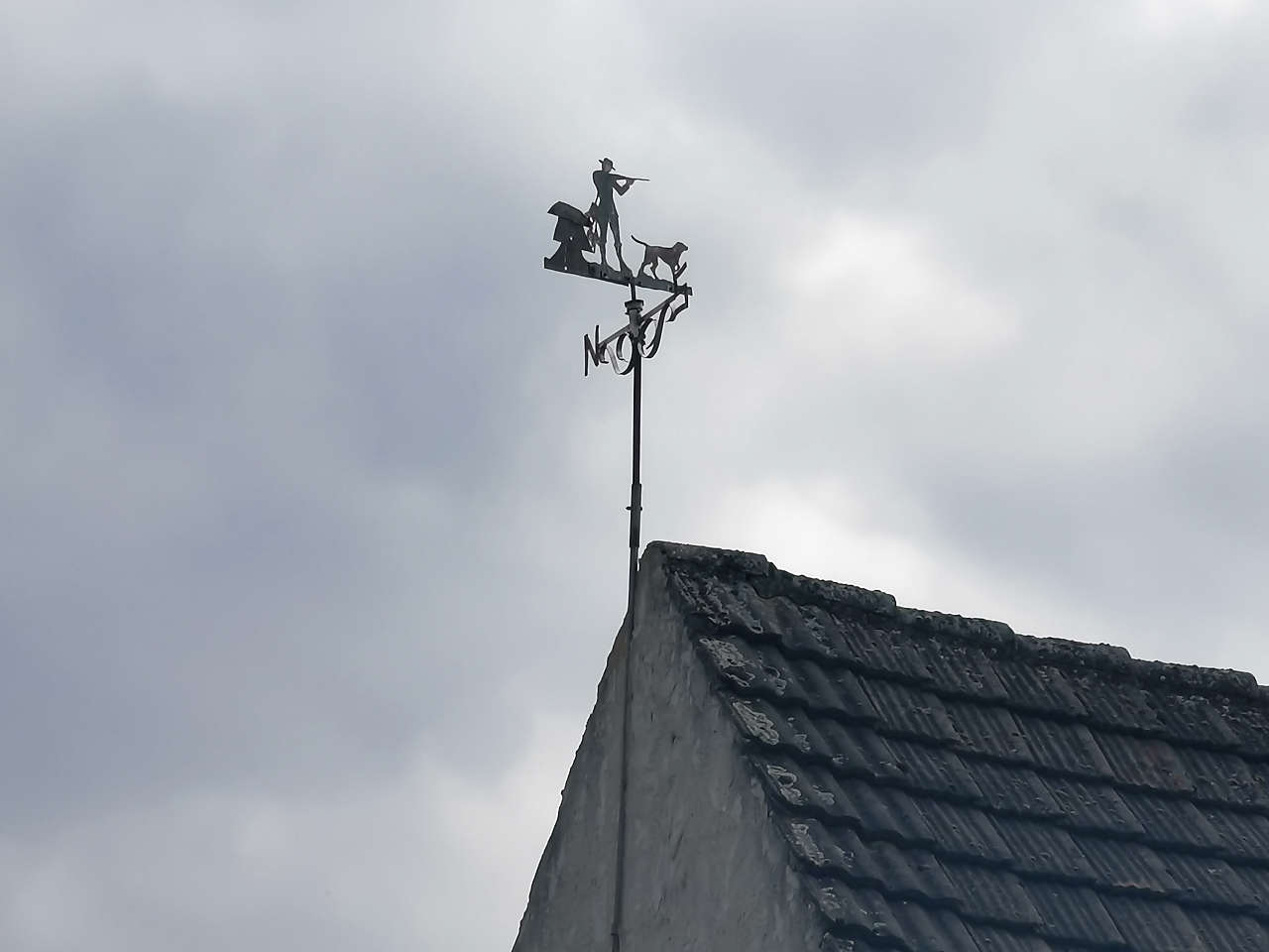
Schulglockenturm, Uthausen
51°45'53.9"N 12°33'28.7"E
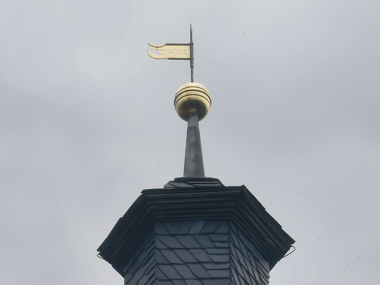
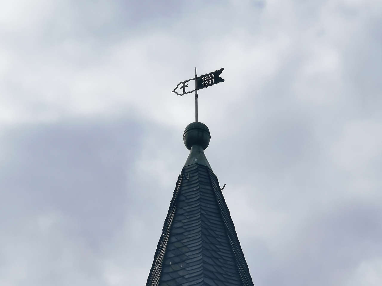
Ev. Dorfkirche St. Marien, Rotta
51°45'56.2"N 12°36'07.8"E
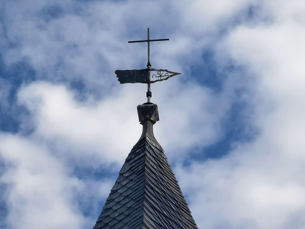
Ev. Dorfkirche, Klitzschena
51°49'00.4"N 12°34'22.3"E
Dorfstr., Klitzschena
51°49'00.4"N 12°34'26.5"E
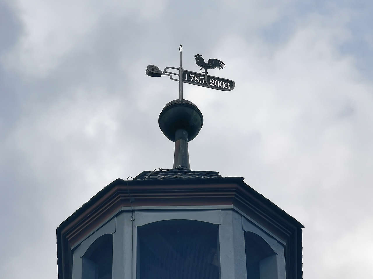
Ev. Dorfkirche, Seegrehna
51°49'52.8"N 12°33'02.2"E
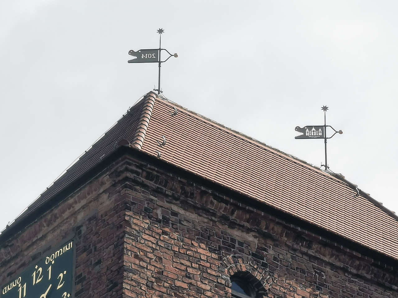
Ev. Dorfkirche St. Gertrud, Pratau
51°50'33.8"N 12°38'37.4"E
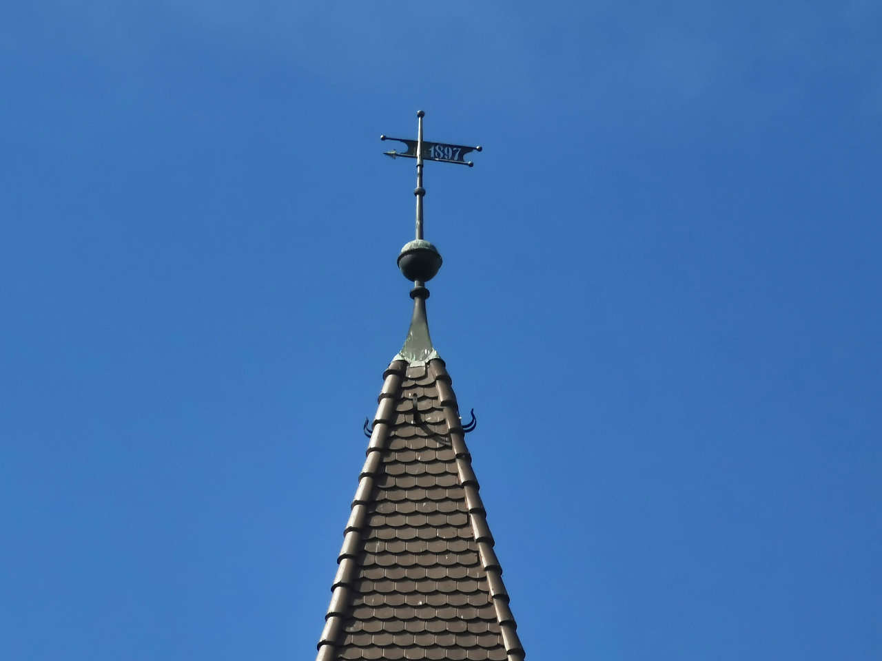
Ev. Dorfkirche, Bülzig
51°53'35.1"N 12°45'14.0"E
Ev. Kirche St. Marien, Zahna
51°54'43.0"N 12°47'15.6"E
Rathaus, Zahna
51°54'45.2"N 12°47'12.4"E
Seydaer Str., Zahna
51°54'45.2"N 12°47'51.5"E
Ev. Dorfkirche, Leetza
51°53'11.0"N 12°49'06.7"E
Ev. Dorfkirche, Gentha
51°50'59.0"N 12°53'55.3"E
Ev. Dorfkirche, Morxdorf
51°54'12.3"N 12°56'28.5"E
Ev. Dorfkirche, Mellnitz
51°54'13.8"N 12°54'37.1"E
Ev. Dorfkirche, Naundorf
51°55'25.4"N 12°53'20.4"E
Turmholländerwindmühle, Naundorf
51°55'35.6"N 12°53'51.2"E
Ev. Dorfkirche, Gölsdorf
51°57'27.2"N 12°58'53.3"E
Gölsdorf
51°57'26.0"N 12°58'54.0"E
Ev. Dorfkirche, Niedergörsdorf
51°58'43.2"N 12°58'59.1"E
Ev. Dorfkirche, Wölmsdorf
51°58'17.2"N 12°57'59.1"E
Ev. Dorfkirche, Kaltenborn
51°59'08.7"N 12°56'47.4"E